The Great War and Modern Mapping: WWI in the Map Division
by Christopher Alario
May 15, 2015
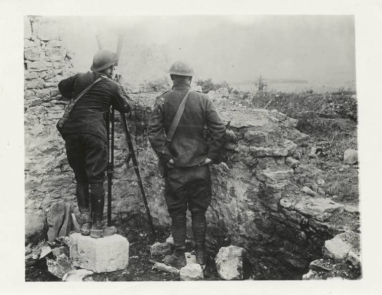
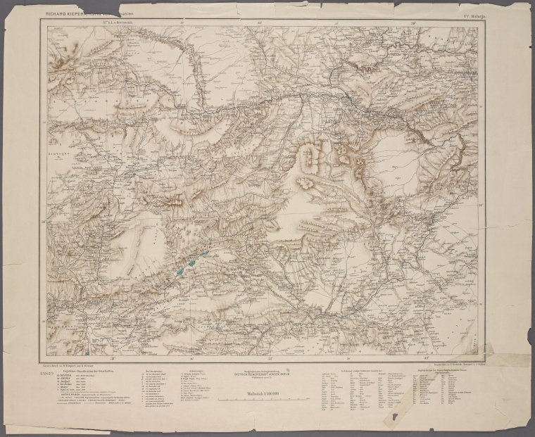
Among the hundreds of maps from the Great War, you'll find commercial maps produced for sale to the general public, pictorial propaganda maps, newspaper maps intended to illustrate the unfolding conflict, and military maps produced for a variety of purposes including training, planning offensive and defensive operations, troop dispositions and more. The languages printed on the map mirror the international range of the conflict.
Remembering Our Ancestors: Maps and Genealogy Resources for Armenian-Americans
by Nancy Kandoian, Lionel Pincus and Princess Firyal Map Division, Stephen A. Schwarzman Building
April 23, 2015
As an Armenian-American keenly aware of the devotion to lost homeland of my ethnic compatriots, I’ve always been on the lookout for Armenians among the researchers from many large ethnic groups who have found their way to the Map Division. April 24 is the 100th anniversary of the beginning of the Armenian Genocide, and one way to honor those who were not able to find refuge is to learn all we can about them and celebrate our link to them.
Du papier au Web : créez vos propres cartes interactives
by Mauricio Giraldo Arteaga
April 13, 2015
Comment créer vos propres cartes géo-référencées à l’aide d’outils Web gratuits.
NYC Rapid Transit in Maps, 1845-1921: The Street Railroads of New York and Vicinity
by Artis Q. Wright, Specialist II, Lionel Pincus and Princess Firyal Map Division, Stephen A. Schwarzman Building
April 3, 2015
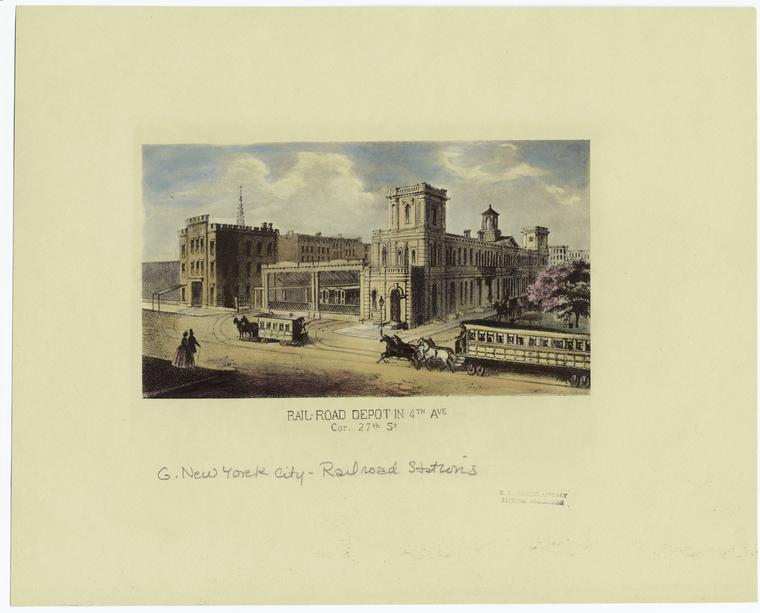
We can gain a deep understanding of the development of the city’s public transit infrastructure simply by examining nine maps published between 1845 and 1921.
Del papel a la web: haz tus propios mapas interactivos.
by Mauricio Giraldo Arteaga
February 24, 2015
Una guía para trabajar con varias herramientas web gratuitas para que puedas hacer tus propios mapas interactivos.
Then & Now: Dinanda Nooney in 1970s Brooklyn
by David Lowe
January 14, 2015
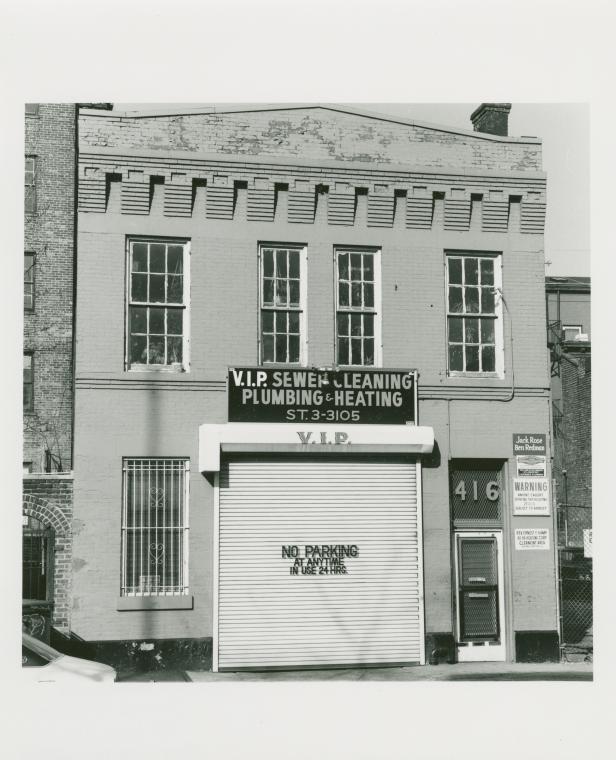
Between January 1978 and April 1979, Nooney networked her way through Brooklyn documenting residences and their occupants, asking each for a referral to another willing subject. Over 150 families or individuals entrusted her to capture glimpses into their private worlds and personal tastes.
From Paper Maps to the Web: A DIY Digital Maps Primer
by Mauricio Giraldo Arteaga
January 5, 2015
A primer on working with various free web mapping tools so you can make your own awesome maps.
Conflict/Resolution and Changing Geographic Realities in the Peace of the Map Division
by Nancy Kandoian, Lionel Pincus and Princess Firyal Map Division, Stephen A. Schwarzman Building
December 8, 2014
Come to the Lionel Pincus and Princess Firyal Map Division to view three examples that demonstrate the role that maps play, years after their informational current-events function, in documenting histories of changing boundaries.
Absolute Sale! NYC Land Auction Catalogs in the Map Division
by Kate Cordes, Associate Director of Reference and Outreach, Humanities and Social Sciences Research Divisions, Stephen A. Schwarzman Building
November 20, 2014
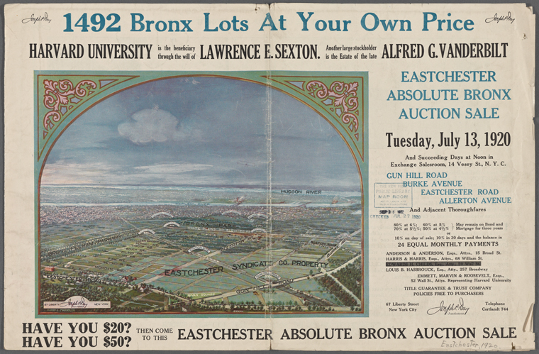
Nearly one hundred land auctioneering pamphlets from the 1860s to 1920s and covering the Bronx, Manhattan, and Brooklyn were digitized this past year. With their richly designed covers, these promotional brochures provide modern day researchers with a window onto neighborhood development and changing patterns of land use in the city.
NYPL Labs and Map Division host first library Net Artist Residency
by Ben Vershbow
August 7, 2014
NYPL Labs is pleased to announce the Library's first-ever Net Artist Residency, in partnership with local hardware startup Electric Objects.
Peeling Off The Painted Layers of NYC Walls: Experiments With The Google Street View Archive
by Brian Foo, NYPL Labs
June 24, 2014
As a web developer who works on a screen and an illustrator that works on paper, I have always admired those who could paint big—often on impossibly large and inconveniently placed walls—only to be erased in a matter of weeks or days. The ephemeral nature of street art is what makes it simultaneously appealing and frustrating as a viewer. However, Google Maps recently rolled out a feature allowing users to go back in
Historical Maps in Minecraft
by Leonard Richardson, NYPL Labs
May 8, 2014
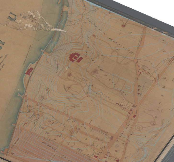
At a recent internal hacking event here, NYPL Labs developer Paul Beaudoin recruited me into an interesting project: transforming one of the library's 20,000 digitized historical maps into the three-dimensional world of the building game Minecraft.
The Battle of Antietam in Maps: An Interview with Researcher Jamesina Thatcher
by Tal Nadan, Manuscripts and Archives Division, Stephen A. Schwarzman Building
May 7, 2014
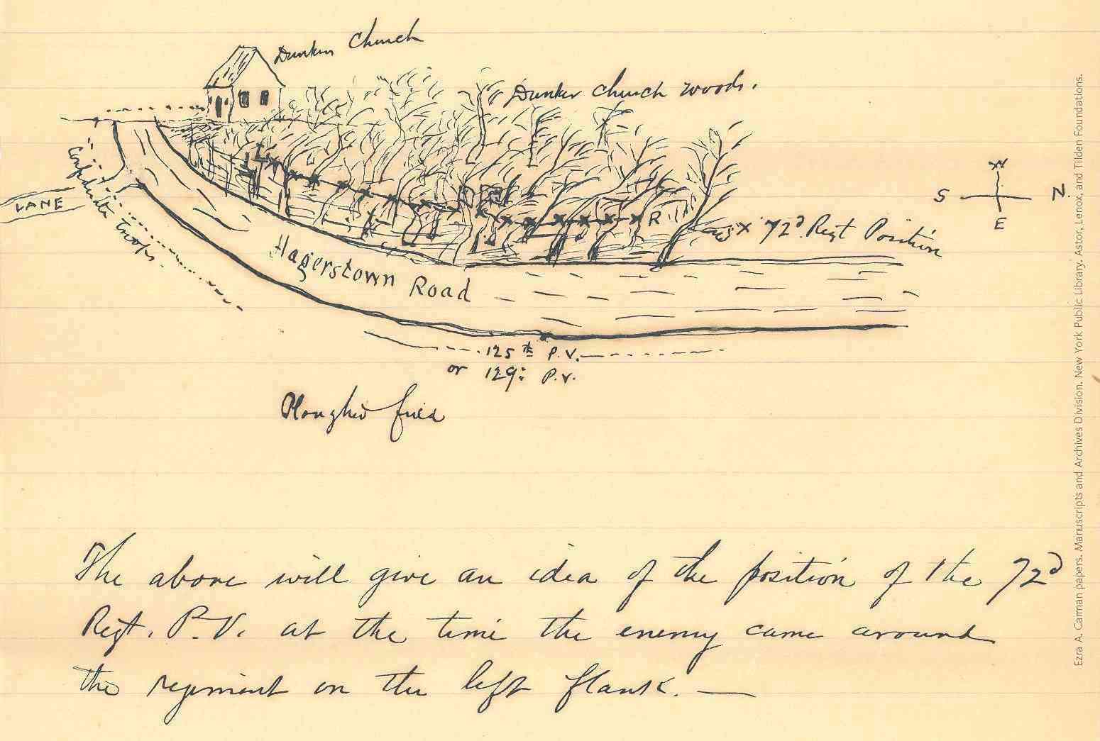
Reconnecting the veterans' testimonies with physical structures and topography of the battlefield, Thatcher improved the understanding of troop movements during this important Civil War clash. Recently, I spoke with Thatcher about her project and the use of archival resources, including the Ezra A. Carman papers here in the Manuscripts and Archives Division.
A Library Branch in the Woods
by Robert Arrighi
April 4, 2014
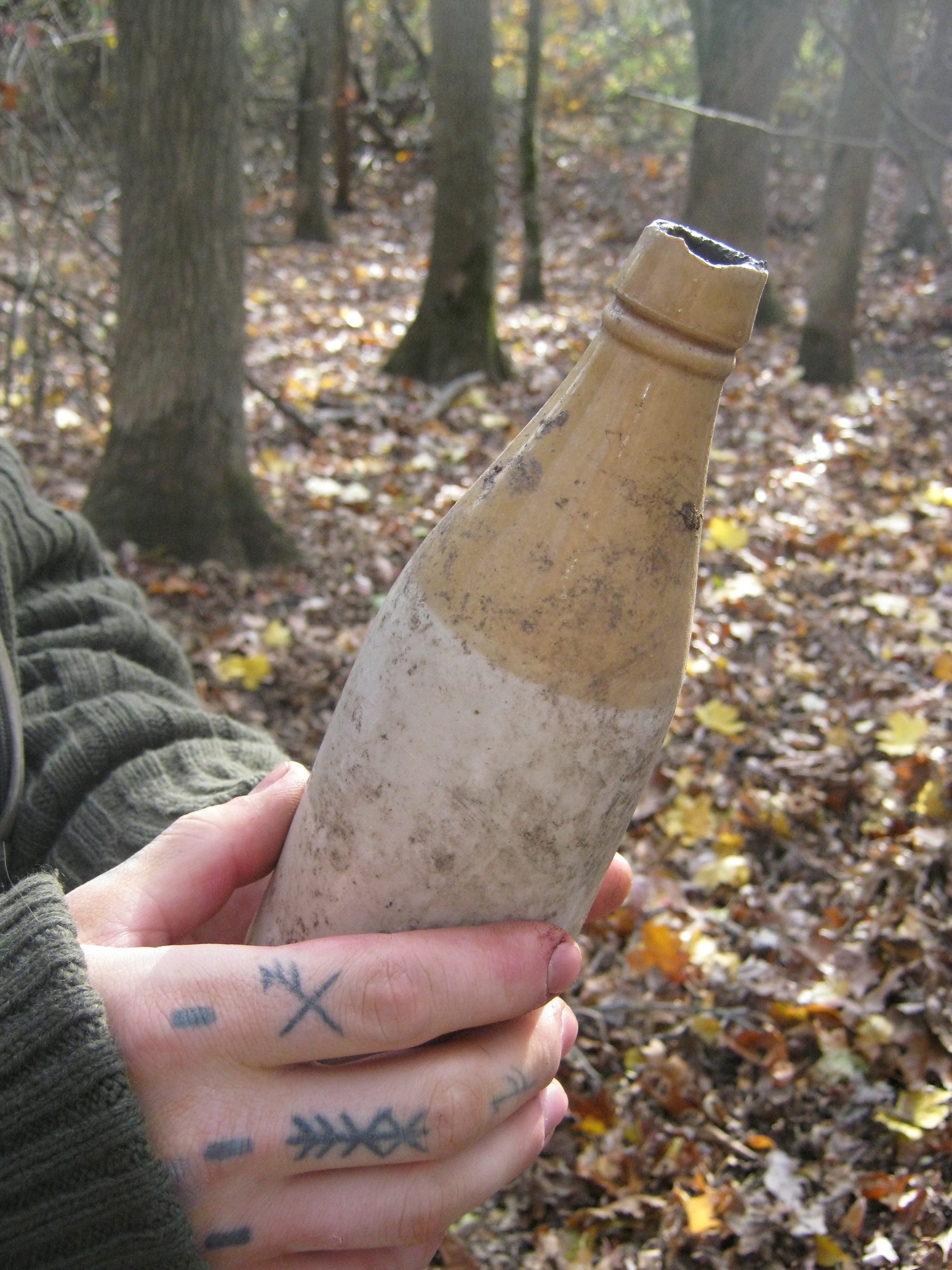
A walk in the woods, a guy with a rake... history uncovered.
Open Access Maps at NYPL
by Matt Knutzen, Linda May Uris Director, Humanities and Social Sciences Research Divisions, Stephen A. Schwarzman Building
March 28, 2014
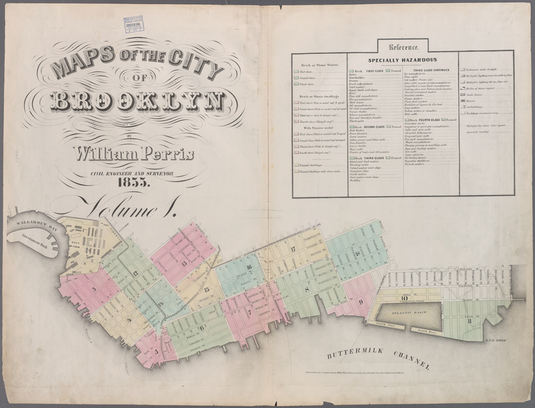
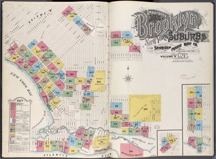
The Lionel Pincus & Princess Firyal Map Division is very proud to announce the release of more than 20,000 cartographic works as high resolution downloads. We believe these maps have no known US copyright restrictions.*
NYPL Labs Building Inspector: No Sleep Til Brooklyn, API, and Open Source Edition
by David Riordan
November 19, 2013
A few weeks ago, we launched Building Inspector, NYPL Labs' latest tool for opening up historical maps of New York City. In that time, you (and lots of other Inspectors) have helped unlock an era of Manhattan's past, generating a building-level snapshot of the city 150 years ago that modern mapping tools can make use of.
Hooray! You did it! We did it (we're really hooked too). To celebrate the completion of the 1857 Manhattan Atlas, we've got some exciting news:
We're
TeachNYPL: 'Grace Aguilar's American Journey,' A Common Core-aligned Research Experience (Gr. 11-12)
by Danielle Lewis
September 18, 2013
By 1900, New York City and the United States were undergoing waves of dramatic, traumatic change. Industrialization, Reconstruction and a surge of immigrants from across the globe were remaking every aspect of life, from transportation to education, leisure, labor, race relations and the status of women. One response to the dislocations and turmoil of this era was the reform efforts that we now classify as the “Progressive Movement.”
We Are Asking For Your Help With Technology Challenges at NYPL
by David Riordan
May 10, 2013
Over a century ago, The New York Public Library was founded with a basic purpose: to provide free access to information, literature, and cultural resources for the enjoyment and enrichment of all New Yorkers.
In the late 19th century, this meant accumulating vast collections spanning all subjects and languages, erecting beautiful buildings to store these books, and hiring brilliant, dedicated librarians to serve them to the public. But what would it look like if we founded The New York Public Library today?
Look around you and you’ll notice that
Meet the Curator: Yulia Tikhonova
by Rebecca Rubenstein
August 1, 2012
Something MAPnificent is happening at Mulberry Street Library through August 27, 2012. MAPnificent features paintings, works on paper and sculpture that reflect the artists' concerns for the current state of our society, conveyed though charts and diagrams, and their admiration of the map as a symbol of longing and the unknown. Includes works by Elaine Angelopoulos, Joseph Burwell, Marie Christine Katz, Paul Fabozzi, Peter J. Hoffmeister, Alastair Nobel, and Amy Pryor.
The mastermind
The New York City Historical GIS Project
by Matt Knutzen, Linda May Uris Director, Humanities and Social Sciences Research Divisions, Stephen A. Schwarzman Building
June 13, 2012
 With your library card, it's easier than ever to choose from more than 300,000 e-books on SimplyE, The New York Public Library's free e-reader app. Gain access to digital resources for all ages, including e-books, audiobooks, databases, and more.