Blog Posts by Subject: Maps, Atlases, Cartography

Unbinding the Atlas: Working with Digital Maps

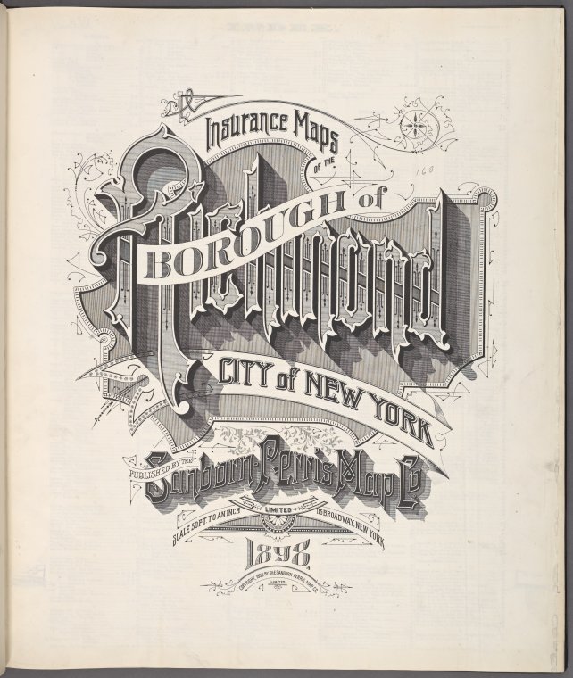
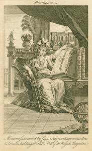
NYPL has now scanned nearly all of its public domain New York City atlases (a collection of now more than 10,000 maps, the wonderfully graphical title page at left is from a recently scanned Sanborn atlas of Staten Island) and built a web tool (

Start Traveling with the Help From NYPL’s Periodical Collections!

Sick of NYC’s cold weather?  Got the traveling bug in you?  Why not stop by the Stephen A. Schwarzman Building to check out our latest travel magazines for the newest tips, trips, and activities abroad?  With over 100 international, regional and local traveling magazines, the DeWitt Wallace Periodicals Division can help you plan your next destinations! 

We have magazines from

Elements of Cartography

The title of this post comes from an important textbook that every formally trained student of cartography will recognize. Arthur Robinson (1915-2004), a towering figure in the world of cartography and geography, first published Elements of Cartography in 1953. Now in it sixth edition, Elements remains an essential teaching tool in both cartographic literacy and the basics of mapmaking.

In Elements, the reader is reminded that every 

Survey and the City: An Imaginary Conversation With E.L. Viele

Egbert Ludovicus Viele (Vee-lee) was born June 17, 1825 in Waterford, New York. He was a member of Congress, U.S. Civil War Union Army officer and was commissioner of New York City parks from 1883 to 1884. The West Point graduate surveyed the island of Manhattan and was appointed engineer-in-chief of Central Park in 1856, and engineer of

Handmade Crafternoon: Make Your Own Map Day

On Saturday, October 23rd, please join us for an afternoon of free DIY cartography at the Library.  Special guests Matt Knutzen (the Library's own geospatial librarian) and map artist Connie Brown of Redstone Studios will teach us a bit about cartography, and then we'll all put that knowledge to use in making our own personal maps.  We'll have basic supplies for this hands-on project to share, but if you have your own compass and ruler you are welcome to bring them 

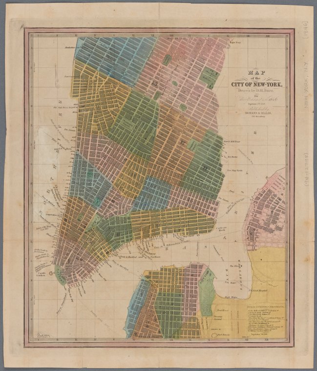
Designing the City of New York: The Commissioners’ Plan of 1811

New York City’s wealth of good design is well known. Its streets are home to a plethora of artisans, graphic designers, fashion designers, architects, etc. who spend their days focused on creating objects, spaces, or experiences that are new, innovative and unique. These designers are often given a blank canvas of raw material—“what is”—onto which they must describe a vision—“what can be.”

Now imagine an urban designer given the monumental task of designing a plan for the orderly growth of a young metropolis. Home to 

You are here: 42nd Street and Fifth Avenue in 1857

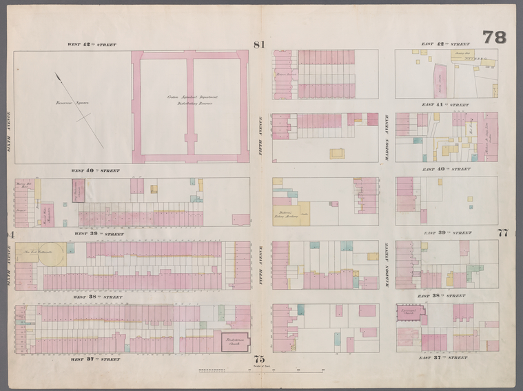
I am at the corner of 42nd Street and Fifth Avenue. According to plate 78 of my map atlas—Williams Perris’s 1857 “Maps of the City of New York”—the massive (2) block long stone structure at the southwest corner of this Manhattan intersection is not the 

Mapping the World: A Review

One of the books recently received at the Map Division is Mapping the world: Stories of Geography by Caroline & Martine Laffon. Even in a pile of other impressive acquisitions, the book is hard to miss. A perfect example of “judging a book by its cover,” the entire work is aesthetically pleasing, with stunning images of maps created in places and cultures around the world.

Mapping the world is a history of cartography with a 

Drawing on the Past: Enlivening the Study of Historical Geography at maps.nypl.org

On behalf of The Lionel Pincus and Princess Firyal Map Division, the NYPL’s Director of Digital Strategy and Scholarship and our partners EntropyFree LLC, I am proud to announce the launch of maps.nypl.org

This new website is a parallel snapshot of all maps currently available on the Digital Gallery as well as a powerful set of tools designed to significantly enhance the way we access and use maps and the cartographic 

Allen Ginsberg and the East Village

My tour of the downtown branches of The New York Public Library continues!  After being here for a few years and here for the past few months I am now here for a few days.  All of this traveling has been a wonderful experience as each branch is as varied and interesting as the neighborhoods they serve.   Spring is around the corner and soon I will be

Charting the Future I

Over the years, as we push more and more of our maps onto the web, such as Pieter Goos' Zee-Atlas, 1672, from which the below image was taken, we ask… ...what do we do with all this stuff? ...how do we make digital maps meaningful?

One approach is through our blog, where we highlight various places and themes depicted. Often there is much more to read between the contours, about, 

Mapping New York's Shoreline: The Storied River

Staff of the New York Public Library recently hand picked a set of nearly 500 images, collected from across our Digital Gallery, composing them as a curated set of images at the Commons on Flickr. They represent the Hudson River Valley through several hundred years of history and complement

Hudson's Legacy

No, I'm not referring to Henry Hudson and his quadricentennial of "discovering" Manhattan and the river that's named after him. I'm speaking of Alice Hudson, Chief of the Lionel Pincus and Princess Firyal Map Division, who retires this week after a long and glorious career at NYPL. She's someone who impacted many lives, leaving behind a shining legacy that will continue to glow for years.

I'll particularly miss Alice's wry humor. I still chuckle when I recall her telling me that she first wanted to title 

Village Haunts

After 165 years things are bound to change, even in the Village. Maps are a great way to see that change, and fortunately The New York Public Library has one of the world's great map collections. Here's a map of lower Manhattan when Edgar Allen Poe roamed the Village:For fun, compare it to my Google map:

For a nice stroll around the Village, visit the locations of each of Poe's homes. I suggest that you start at Waverly and Sixth, go down to W. 3rd Street, over to Carmine and end up at James J. Walker Park where there is just 

Hudson Park and the Center of the Literary Universe

Want to breakfast with Theodore Dreiser? Grab a cup of coffee at Grey Dog Coffee or Out of the Kitchen and mosey on down to 16 St. Lukes Place.

Hey, you’re right across from the Hudson Park Library! And just down the street at 14 and 12 St. Lukes Place are the former homes of Marianne Moore and Sherwood Anderson. They all lived here in the 1920s.

Use this map (I'll 

Mapping NYC

We've updated the Map Division's Google Earth index to digitized NYC map collections to include more than 2000 maps from 32 titles, organized chronologically and geographically (by borough), all published between 1852 and 1923. The map index (download .kmz file) requires installation of Google Earth on your computer. There are three recommended ways to search for maps using this 

Weeksville Revisited

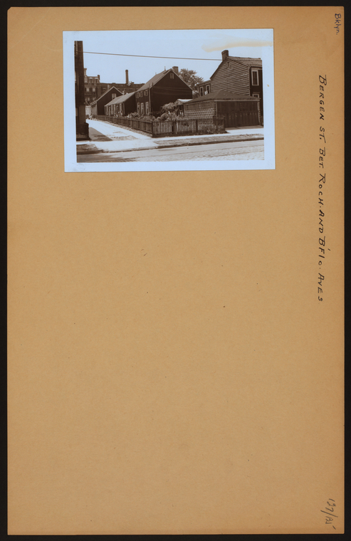
In a previous post, we looked at maps of Brooklyn from the 19th and early 20th centuries of the neighborhood once called Weeksville, centered on Hunterfly Road. It was there, in 1969, according to The Weeksville Society, that researchers rediscovered the "Hunterfly Road houses," the neighborhood's only remaining residential structures from the period.

I'm curious to know if those same researchers used the

Crystal Palace at Reservoir Square

On today's map you wouldn't have a clue as to where the Crystal Palace at Reservoir Square was located. Looking at a William Perris' fire insurance map from 1853 however reveals that, where now stands our magnificent central library on the corner of 5th 

Digitizing the Historical Landscape

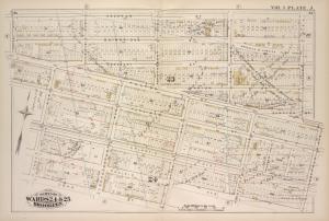
We've digitized more historical maps documenting the changing New York City landscape. Follow the link to a comprehensive listing of close to 2,700 maps showing buildings, old streets, farm lines, streetcar routes historical shorelines and more.

Here's a small section from G.M. Hopkins' 1880 Farm Line Atlas of Brooklyn.

Weeksville

Weeksville was a community of African Americans founded in 1838 by a freed slave named James Weeks in an area straddling modern day Bedford-Stuyvesant and Crown Heights in Brooklyn. By the 1860s, according to Weeksville Society, it had become a cultural nexus and a draft riot safe haven for New York City's growing African American population. While much has been written about its people, both today, as in this