Posts by Matt Knutzen

Open Access Maps at NYPL

The Lionel Pincus & Princess Firyal Map Division is very proud to announce the release of more than 20,000 cartographic works as high resolution downloads. We believe these maps have no known US copyright restrictions.*

The New York City Historical GIS Project

In 2010, the National Endowment for the Humanities (NEH) awarded The New York Public Library's Lionel Pincus and Princess Firyal Map Division a three-year grant for its New York City Historical Geographic Information Systems project, which builds digital cartographic resources from NYPL's historical paper map and atlas 

Unbinding the Atlas: Working with Digital Maps

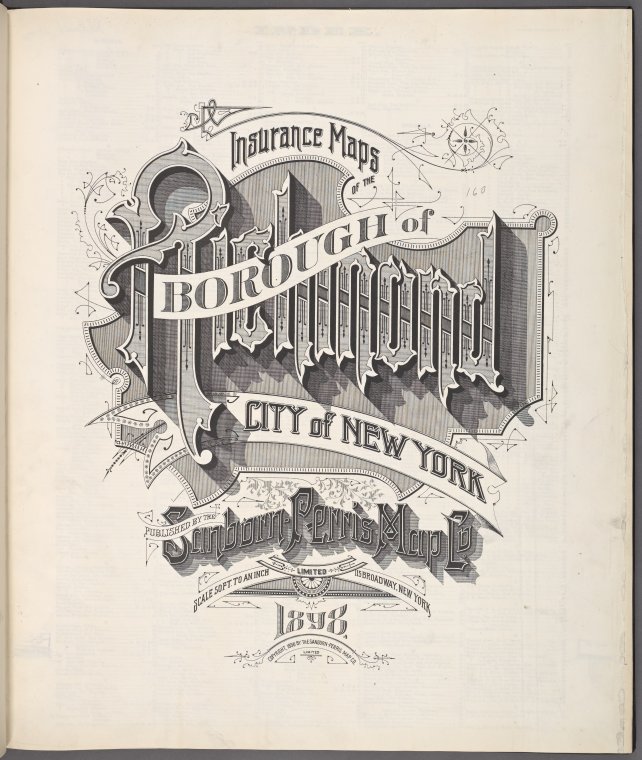
NYPL has now scanned nearly all of its public domain New York City atlases (a collection of now more than 10,000 maps, the wonderfully graphical title page at left is from a recently scanned Sanborn atlas of Staten Island) and built a web tool (

Elements of Cartography

The title of this post comes from an important textbook that every formally trained student of cartography will recognize. Arthur Robinson (1915-2004), a towering figure in the world of cartography and geography, first published Elements of Cartography in 1953. Now in it sixth edition, Elements remains an essential teaching tool in both cartographic literacy and the basics of mapmaking.

In Elements, the reader is reminded that every 

Drawing on the Past: Enlivening the Study of Historical Geography at maps.nypl.org

On behalf of The Lionel Pincus and Princess Firyal Map Division, the NYPL’s Director of Digital Strategy and Scholarship and our partners EntropyFree LLC, I am proud to announce the launch of maps.nypl.org

This new website is a parallel snapshot of all maps currently available on the Digital Gallery as well as a powerful set of tools designed to significantly enhance the way we access and use maps and the cartographic 

Happy Thanksgiving!

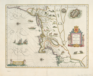
Happy Thanksgiving from The Lionel Pincus and Princess Firyal Map Division! Come see Willem Janszoon Blaeu's Nova Belgica et Anglia Nova in person at the fabulous Mapping New York's Shoreline 1609-2009 exhibition, open today and the Friday and Saturday following Thanksgiving in the Gottesman Exhibition Hall located on the first floor of the

Charting the Future I

Over the years, as we push more and more of our maps onto the web, such as Pieter Goos' Zee-Atlas, 1672, from which the below image was taken, we ask… ...what do we do with all this stuff? ...how do we make digital maps meaningful?

One approach is through our blog, where we highlight various places and themes depicted. Often there is much more to read between the contours, about, 

Mapping New York's Shoreline: The Storied River

Staff of the New York Public Library recently hand picked a set of nearly 500 images, collected from across our Digital Gallery, composing them as a curated set of images at the Commons on Flickr. They represent the Hudson River Valley through several hundred years of history and complement

Mapping NYC

We've updated the Map Division's Google Earth index to digitized NYC map collections to include more than 2000 maps from 32 titles, organized chronologically and geographically (by borough), all published between 1852 and 1923. The map index (download .kmz file) requires installation of Google Earth on your computer. There are three recommended ways to search for maps using this 

Weeksville Revisited

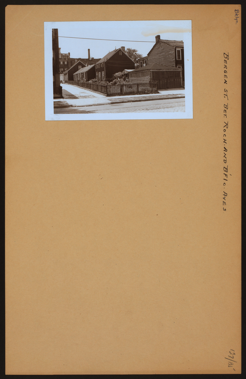
In a previous post, we looked at maps of Brooklyn from the 19th and early 20th centuries of the neighborhood once called Weeksville, centered on Hunterfly Road. It was there, in 1969, according to The Weeksville Society, that researchers rediscovered the "Hunterfly Road houses," the neighborhood's only remaining residential structures from the period.

I'm curious to know if those same researchers used the

Crystal Palace at Reservoir Square

On today's map you wouldn't have a clue as to where the Crystal Palace at Reservoir Square was located. Looking at a William Perris' fire insurance map from 1853 however reveals that, where now stands our magnificent central library on the corner of 5th 

Digitizing the Historical Landscape

We've digitized more historical maps documenting the changing New York City landscape. Follow the link to a comprehensive listing of close to 2,700 maps showing buildings, old streets, farm lines, streetcar routes historical shorelines and more.

Here's a small section from G.M. Hopkins' 1880 Farm Line Atlas of Brooklyn.

Weeksville

Weeksville was a community of African Americans founded in 1838 by a freed slave named James Weeks in an area straddling modern day Bedford-Stuyvesant and Crown Heights in Brooklyn. By the 1860s, according to Weeksville Society, it had become a cultural nexus and a draft riot safe haven for New York City's growing African American population. While much has been written about its people, both today, as in this

County Atlases

A popular collection in the NYPL's Lionel Pincus and Princess Firyal Map Division, and one of my personal favorites, is the county atlas series, most of which was published following the passage of a federal law commemorating the centennial of the United States. We have recently digitized 43 atlases covering New York and New Jersey from our collection of more than 420 titles printed before 1900. See this page for a list of digital holdings from this series.

Their pages are filled not only 

Coney Island Maps

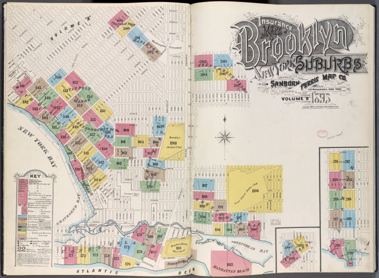
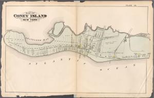
I've always been fascinated with landscapes changing through time as seen though the lens of the map. Shorelines, especially where there are lots of waves and tides, are particularly interesting things in that they are so clearly dynamic. These fire insurance maps of Coney Island, created between 1880 and 1907 document those changes beautifully. In addition to those covering Coney Island, the NYPL has digitized close to 2000 maps at this level of detail for all five boroughs of New York City.

G.W. Bromley,