NYC Neighborhoods
Weeksville Revisited
In a previous post, we looked at maps of Brooklyn from the 19th and early 20th centuries of the neighborhood once called Weeksville, centered on Hunterfly Road. It was there, in 1969, according to The Weeksville Society, that researchers rediscovered the "Hunterfly Road houses," the neighborhood's only remaining residential structures from the period.

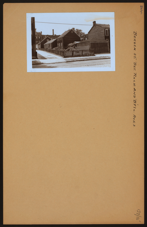
I'm curious to know if those same researchers used the Photographic Views of New York City, 1870s-1970s, located in The Irma and Paul Milstein Division of United States History, Local History and Genealogy, particularly the photograph below, shot by Percy Loomis Sperr in 1940, in their reports.
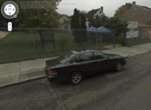
Take a look on Google Street view (click on image):
Read E-Books with SimplyE
 With your library card, it's easier than ever to choose from more than 300,000 e-books on SimplyE, The New York Public Library's free e-reader app. Gain access to digital resources for all ages, including e-books, audiobooks, databases, and more.
If you don’t have an NYPL library card, New York State residents can apply for a digital card online or through SimplyE (available on the App Store or Google Play).
Need more help? Read our guide to using SimplyE.

