Posts by Nancy Kandoian

Summer Reading—It's in the Maps

Don't feel sheepish if someone asks what books you're reading this summer—there's more to reading than just books!

10 Books for Map Enthusiasts to Read at Home

Who knew maps were so fascinating? (We did.)

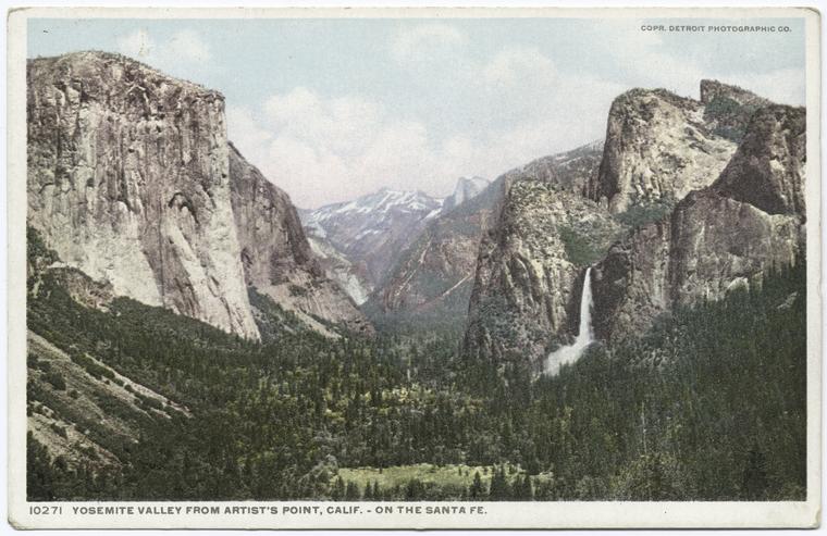
A Cartographic Escape to America's National Parks

Virtual travel and time travel are at your fingertips with the remote resources of the Map Division.

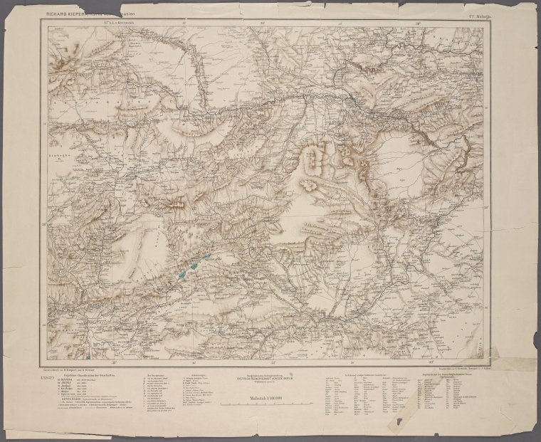
Where in the World? Gazetteers and Other Place-Name Resources

Resources to assist researchers and casual users find the places they are looking for.

Maps in the Gap: Discovering The Map Division’s Dictionary Catalog, Now Online

Take a peek into the geographic past... Discover the best ways to use the catalog, and examples of what you can expect to find.

Pi(e) Day in the Map Division

Taking inspiration from the delightful National Cookie Day post, the Map Division is using Pi(e) Day as cause to celebrate not only our love for pie (the eating kind), but also, the wonderful variety of pictorial maps in the collections of the Lionel Pincus and Princess Firyal Map Division.

Remembering Our Ancestors: Maps and Genealogy Resources for Armenian-Americans

As an Armenian-American keenly aware of the devotion to lost homeland of my ethnic compatriots, I’ve always been on the lookout for Armenians among the researchers from many large ethnic groups who have found their way to the Map Division. April 24 is the 100th anniversary of the beginning of the Armenian Genocide, and one way to honor those who were not able to find refuge is to learn all we can about them and celebrate our link to them.

Conflict/Resolution and Changing Geographic Realities in the Peace of the Map Division

Come to the Lionel Pincus and Princess Firyal Map Division to view three examples that demonstrate the role that maps play, years after their informational current-events function, in documenting histories of changing boundaries.

Profiles and sections of the city (a worm’s-eye view?)

“Cartographic materials” and “cartographic resources” are phrases that we use in the map library world to describe a whole gamut of map-like information sources. Elevation profiles and geologic sections are particular types of cartographic materials that represent vertical planes, perpendicular to the earth’s surface, in contrast to the typical horizontal-surface representations commonly referred to as maps. Here are a couple of examples from the NYPL Digital Collections that show the added dimension that profiles can provide for an understanding of the New 

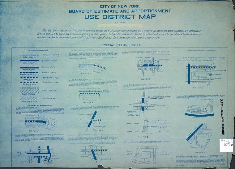
New York City Zoning Maps

Researchers who visit the Lionel Pincus and Princess Firyal Map Division are interested, more often than not, in our resources on New York City history. If they don’t know about them before they arrive, our readers quickly become familiar with names like Perris, Bromley, Robinson, Sanborn, and Hyde for the fire insurance and real estate maps, showing buildings block by block, that they published over the years. Without doubt, we will write more about