Where in the World? Gazetteers and Other Place-Name Resources
In the Lionel Pincus and Princess Firyal Map Division, we help people find places on maps. While finding places can seem straightforward with comprehensive internet map sites and powerful search engines, we still come upon challenges now and then: places of unknown or inaccurate spelling, alternate forms of names, places that have changed names, or places that no longer exist. A new LibGuide, a specially-formatted research guide, on The New York Public Library website, points to resources, both online and traditional, as well as methods, that have been useful to the staff of the Map Division in assisting researchers and casual users find the places they are looking for.


A major type of resource for this purpose, before the internet and even now, is a gazetteer. A gazetteer might describe locations in words, conveying relationships to other more well-known places, or in coordinates, such as latitude and longitude. Among the other types of resources that might provide assistance, from the historical treasures of The New York Public Library, are map and atlas indexes, studies in place name origins, postal directories, census reports, guidebooks, and travel accounts.

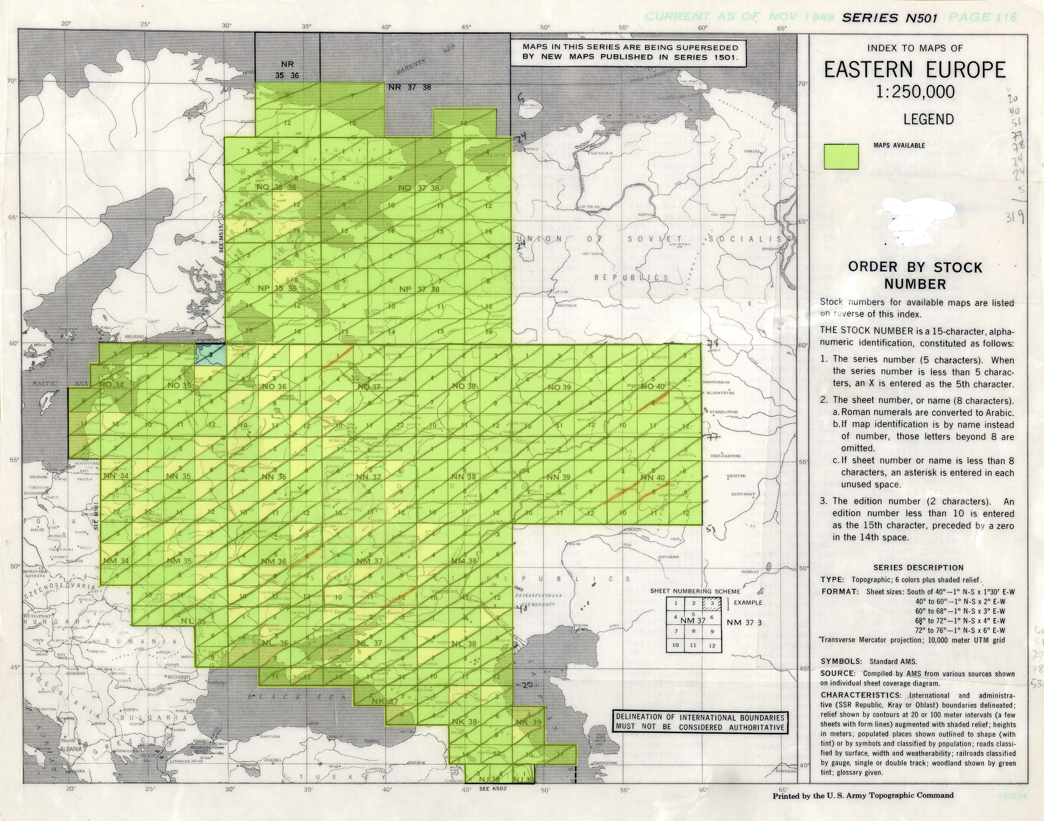
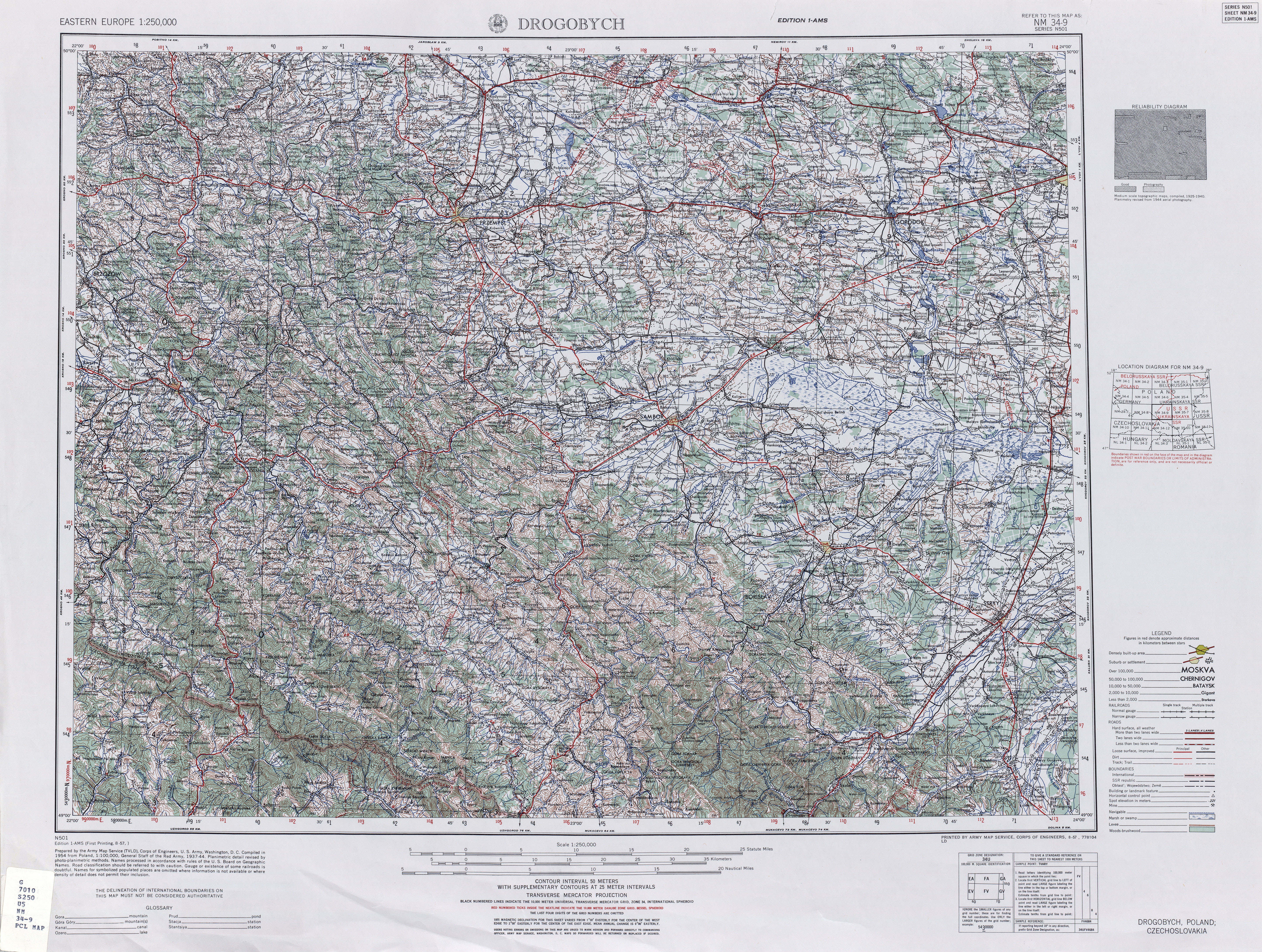
The new Finding Places research guide provides links to examples of many of these types of resources. It also shows the way through a sample search when use of latitude and longitude from a reference source—online or traditional hardcopy—is part of the process of pinpointing a location on a map. You might first use an "index map" of a "contiguous area map series" to plot the latitude and longitude and to figure out the particular map needed.


The next time you are searching for a hard-to-find place, take a look at the new guide. You can also email us at maps@nypl.org, or come into the Map Division, where you’ll have the assistance of our experienced staff. But first, find us on a map!


Read E-Books with SimplyE
 With your library card, it's easier than ever to choose from more than 300,000 e-books on SimplyE, The New York Public Library's free e-reader app. Gain access to digital resources for all ages, including e-books, audiobooks, databases, and more.
If you don’t have an NYPL library card, New York State residents can apply for a digital card online or through SimplyE (available on the App Store or Google Play).
Need more help? Read our guide to using SimplyE.