A Cartographic Escape to America's National Parks
The users of The New York Public Library’s Map Division were referred to as our “clientele of mental travelers,” back in 1963. Fifty-seven years later, the clientele of mental travelers of today’s Lionel Pincus and Princess Firyal Map Division—or anyone with internet access—can embark on travels from home, in their imaginations, with the guidance of maps in NYPL’s Digital Collections.
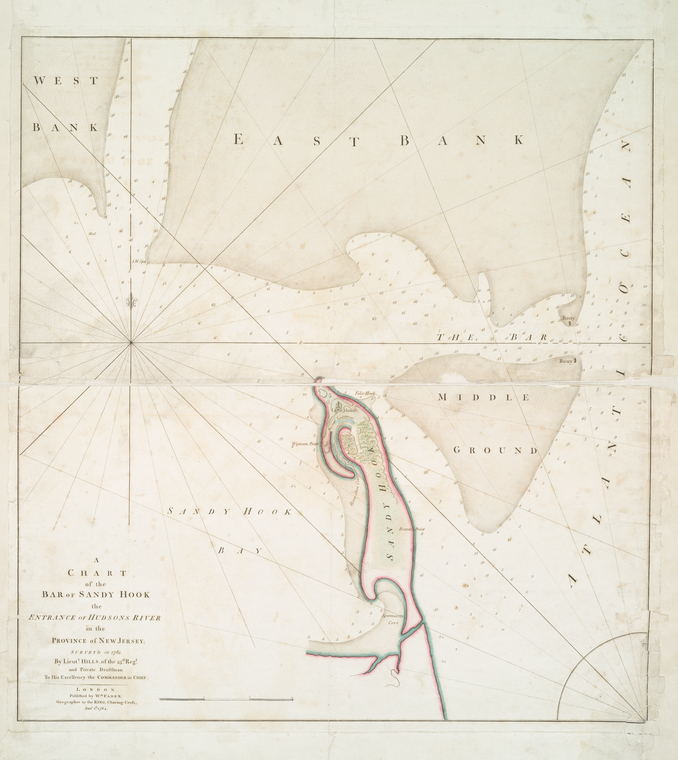
Closer to home, take a look at Sandy Hook, in New Jersey, now part of Gateway National Recreation Area, to be reminded of how the sea changes the shape and size of spits of land like that over time.
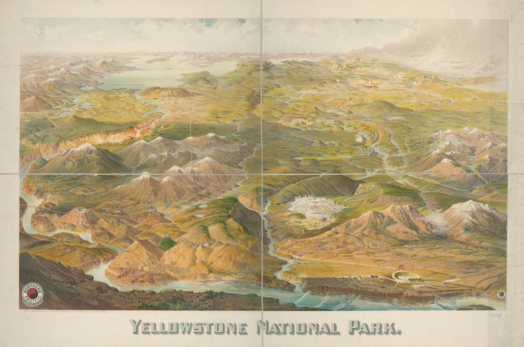
Back out West, see yourself in the landscape of Yellowstone in the early 20th century. What a great thing to protect special places like this, and to preserve maps and views that freeze a moment in time as the artist or cartographer rendered it.
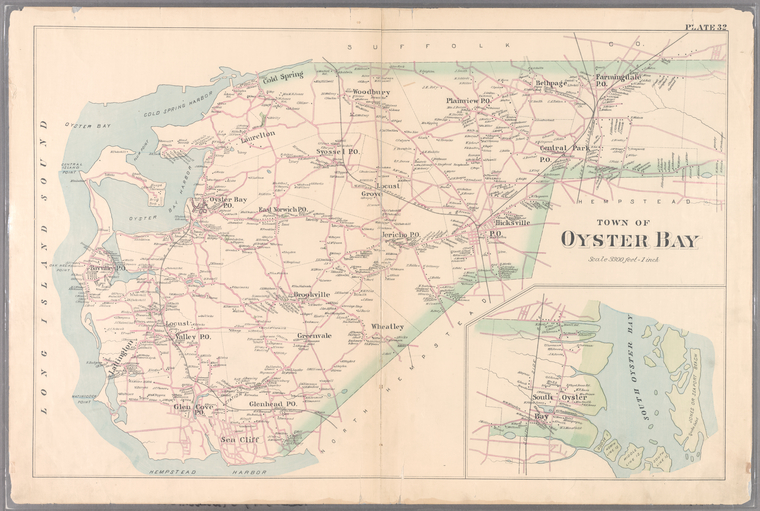
Zoom into Teddy Roosevelt’s neighborhood, on a peninsula jutting into the water, before he was the American president; his estate in Oyster Bay on Long Island is now the Sagamore Hill National Historic Site.
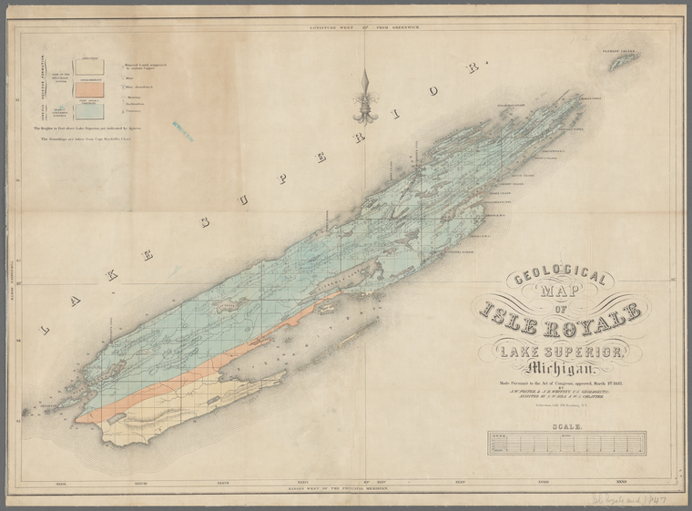
If island isolation has an appeal to you, you can explore the geology of Isle Royale, now a national park in the northwest reaches of Lake Superior.
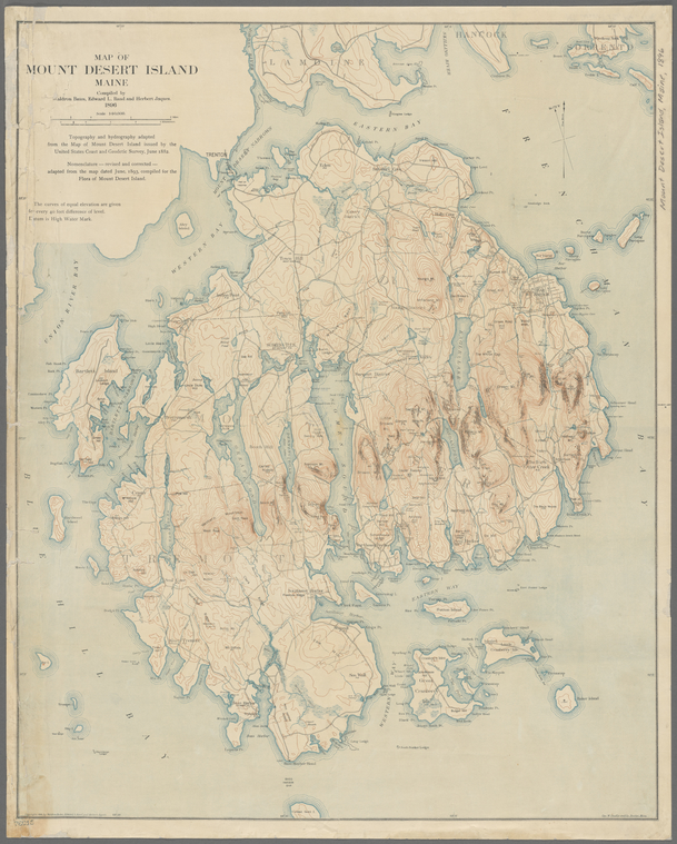
Or check out the less-isolated island of Mount Desert in Maine, where the pink granite hills of Acadia National Park, a hiking destination in the 1890s as now, meet stunning stretches of the Atlantic coast.
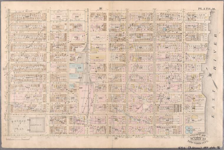
Of course, there’s no place like home. So if you’d rather have a “staycation” after all, you can explore your NYC neighborhood … virtually.
More than Travel: Remote Resources and Assistance from the Map Division
Beyond “mental travel,” take advantage of the remote resources of the Lionel Pincus and Princess Firyal Map Division for additional purposes:
- research or compare particular maps for what they show about historical geography, or, as artifacts, what they show about the history of cartography
- glean contextual information from old maps and historical documents to prepare for an archaeological project
- with support from articles in full-text databases, photographs, and other resources, see how maps reflect the political and social forces at work in urban development during particular periods of time
- follow the geographical history of your family as a supplement to your genealogical research, and use maps to fill out the family story with more understanding of the character of your ancestors' neighborhoods
- find out more about an old map that you discovered at a garage sale or in the attic of your grandparents' house.
For research projects like these, and more, look for suggestions from our recently-created guide to Remote Map Research at NYPL. You may also email Map Division librarians with your questions, or contact NYPL librarians to schedule an online research consultation. We look forward to hearing from you!
Read E-Books with SimplyE
 With your library card, it's easier than ever to choose from more than 300,000 e-books on SimplyE, The New York Public Library's free e-reader app. Gain access to digital resources for all ages, including e-books, audiobooks, databases, and more.
If you don’t have an NYPL library card, New York State residents can apply for a digital card online or through SimplyE (available on the App Store or Google Play).
Need more help? Read our guide to using SimplyE.
