Blog Posts by Subject: Maps, Atlases, Cartography

Profiles and sections of the city (a worm’s-eye view?)

“Cartographic materials” and “cartographic resources” are phrases that we use in the map library world to describe a whole gamut of map-like information sources. Elevation profiles and geologic sections are particular types of cartographic materials that represent vertical planes, perpendicular to the earth’s surface, in contrast to the typical horizontal-surface representations commonly referred to as maps. Here are a couple of examples from the NYPL Digital Collections that show the added dimension that profiles can provide for an understanding of the New 

County Atlases

A popular collection in the NYPL's Lionel Pincus and Princess Firyal Map Division, and one of my personal favorites, is the county atlas series, most of which was published following the passage of a federal law commemorating the centennial of the United States. We have recently digitized 43 atlases covering New York and New Jersey from our collection of more than 420 titles printed before 1900. See this page for a list of digital holdings from this series.

Their pages are filled not only 

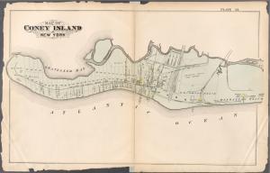
Coney Island Maps

I've always been fascinated with landscapes changing through time as seen though the lens of the map. Shorelines, especially where there are lots of waves and tides, are particularly interesting things in that they are so clearly dynamic. These fire insurance maps of Coney Island, created between 1880 and 1907 document those changes beautifully. In addition to those covering Coney Island, the NYPL has digitized close to 2000 maps at this level of detail for all five boroughs of New York City.

G.W. Bromley, 

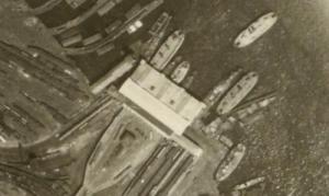
Staten Island Aerial Photos from 1924

If you like the "Satellite View" feature in Google Maps then you should enjoy these aerial photographs of New York City. In 1924 Arthur Tuttle flew over the city snapping pictures of every building and landmark there was. His images of NYC rooftops clearly show the outline of all the buildings. The atlas containing his photos is called:

Sectional aerial maps of the City of New York / [photographed and assembled under the direction of the chief engineer, July 1st, 1924]. 

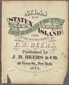
Historical Staten Island Maps in the NYPL Digital Collections

There's a great selection of Staten Island maps and Atlases in the NYPL Digital Gallery. Using the "Pan and Zoom" feature the maps can be enlarged to the point where you can read street names and even the names of residents of individual houses. "Pan and Zoom" is not available on all maps, however.

Here are some of the maps and atlases available:

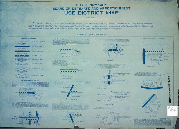
New York City Zoning Maps

Researchers who visit the Lionel Pincus and Princess Firyal Map Division are interested, more often than not, in our resources on New York City history. If they don’t know about them before they arrive, our readers quickly become familiar with names like Perris, Bromley, Robinson, Sanborn, and Hyde for the fire insurance and real estate maps, showing buildings block by block, that they published over the years. Without doubt, we will write more about