Posts from the Map Division

Open Access Maps at NYPL

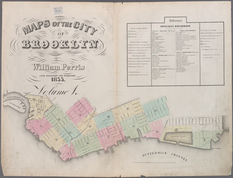
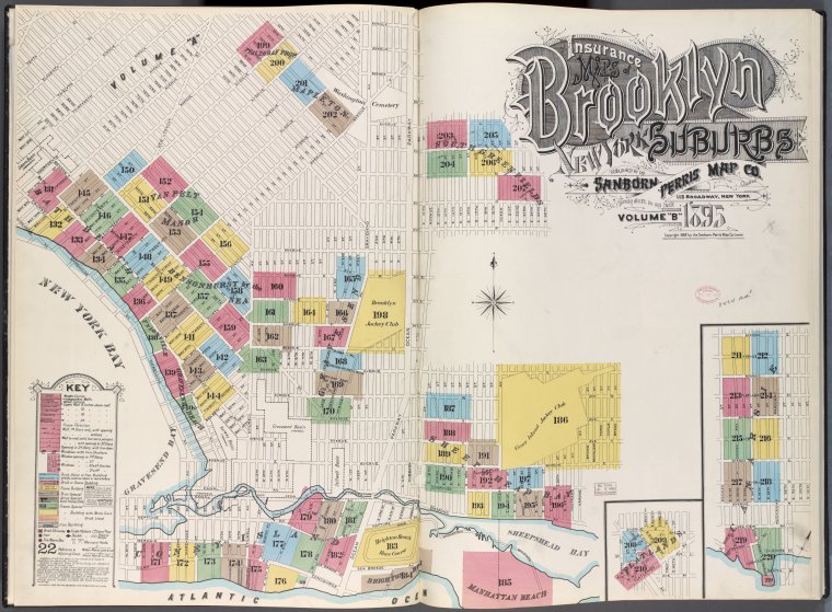
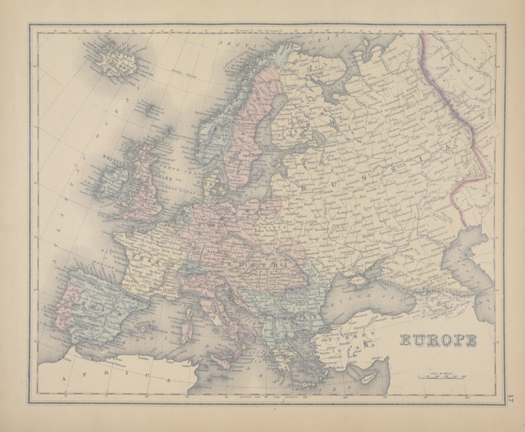
The Lionel Pincus & Princess Firyal Map Division is very proud to announce the release of more than 20,000 cartographic works as high resolution downloads. We believe these maps have no known US copyright restrictions.*

NYPL Labs Building Inspector: No Sleep Til Brooklyn, API, and Open Source Edition

A few weeks ago, we launched Building Inspector, NYPL Labs' latest tool for opening up historical maps of New York City. In that time, you (and lots of other Inspectors) have helped unlock an era of Manhattan's past, generating a building-level snapshot of the city 150 years ago that modern mapping tools can make use of.

Hooray! You did it! We did it (we're really hooked too). To celebrate the completion of the 1857 Manhattan Atlas, we've got some exciting news:

    We're 

TeachNYPL: 'Grace Aguilar's American Journey,' A Common Core-aligned Research Experience (Gr. 11-12)

By 1900, New York City and the United States were undergoing waves of dramatic, traumatic change. Industrialization, Reconstruction and a surge of immigrants from across the globe were remaking every aspect of life, from transportation to education, leisure, labor, race relations and the status of women. One response to the dislocations and turmoil of this era was the reform efforts that we now classify as the “Progressive Movement.”

TeachNYPL Summer 2013: Lists for Lesson Planning - Primary Sources and the Common Core

We have just shuttered the doors on our first Education Innovation @ NYPL Summer Institute. During this three week Institute, master teachers from NYC (and further afar) met curators from our Research Divisions, explored our Archives, and connected with members of our Strategy Department—all with the intention of addressing how we can better identify materials from our collections for use in the classroom, and how we can better connect these materials to teachers. The New York Public 

MAPHACK: Hacking NYC's Past with NYPL Labs & Friends

John Stokell used to make clocks by hand, and a few years back he got his big break. Two inventors came to him with a new networking technology and he wanted John to help make it possible. So John signed on, built the "Registers" at either end of the line, and when the inventors' new technology took the world by storm, John's artisanal clock business took off. The money was good, very good apparently. By data mining publicly available metadata, it's possible to see that Stokell was able to move from his home at 130 Leonard in SoHo (which doubled as his studio) over 

The New York City Historical GIS Project

In 2010, the National Endowment for the Humanities (NEH) awarded The New York Public Library's Lionel Pincus and Princess Firyal Map Division a three-year grant for its New York City Historical Geographic Information Systems project, which builds digital cartographic resources from NYPL's historical paper map and atlas 

Wiki Gangs of New York: Editathon Recap

It was time to represent New York City and the Wikipedians showed up in force to do so! Wiki Gangs of New York was a Wikipedia editathon which took place at the Stephen A Schwarzman building on April 21, 2012 using the specialized collections of the Milstein Division of U.S. History, Local History and Genealogy and the Lionel Pincus and Princess Firyal Map Division. With so much great material on hand to reference, Wikipedia grew with specialized local information about New 

Gilded Love: Stokes and Sargent

The last time I was in the Metropolitan Museum of Art, being classy, I literally stopped in my tracks when I saw this painting:

It's called Mr. and Mrs. I.N. Phelps Stokes and it was painted by

Unbinding the Atlas: Working with Digital Maps

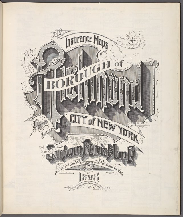
NYPL has now scanned nearly all of its public domain New York City atlases (a collection of now more than 10,000 maps, the wonderfully graphical title page at left is from a recently scanned Sanborn atlas of Staten Island) and built a web tool (

Islam in Europe: A Resource Guide at NYPL

According to the BBC News, "Islam is widely considered Europe's fastest growing religion, with immigration and above average birth rates leading to a rapid increase in the Muslim population." There are currently over 15 million Muslims (Sunni and Shiite) living in Europe and Islam is currently the second largest religion in the world after Christianity.

This blog post will focus on NYPL’s rich collection on the history of Islam in Europe: past and present; the historical, political, cultural, and 

All Hands on Deck: NYPL Turns to the Crowd to Develop Digital Collections

Users are generating that reality every day at The New York Public Library through two landmark crowdsourcing endeavors, What’s on the Menu? and Map Rectifier. The former enlists the public in the transcription of historical menus, and the latter allows users to “rectify” historical maps by overlaying them on modern ones. Both projects stand out amid a glut of competitors as refreshingly guilt-free and subliminally educational uses of online time. 

Start Traveling with the Help From NYPL’s Periodical Collections!

Sick of NYC’s cold weather?  Got the traveling bug in you?  Why not stop by the Stephen A. Schwarzman Building to check out our latest travel magazines for the newest tips, trips, and activities abroad?  With over 100 international, regional and local traveling magazines, the DeWitt Wallace Periodicals Division can help you plan your next destinations! 

We have magazines from

Radioactive Artist Lauren Redniss Talks of Love, Science, and Finding Inspiration at the Library

When artist and writer Lauren Redniss is asked why she created her new graphic biography Radioactive: Marie & Pierre Curie, A Tale of Love and Fallout, her reply is as striking and powerful as her work: “I wanted to create a visual book about invisible forces,” Redniss said. “In this case, radioactivity and love. I was drawn to the Curies’ story because it is full of drama — passion, discovery, tragedy, scandal.”

In other words, this is the story of 

Elements of Cartography

The title of this post comes from an important textbook that every formally trained student of cartography will recognize. Arthur Robinson (1915-2004), a towering figure in the world of cartography and geography, first published Elements of Cartography in 1953. Now in it sixth edition, Elements remains an essential teaching tool in both cartographic literacy and the basics of mapmaking.

In Elements, the reader is reminded that every 

Survey and the City: An Imaginary Conversation With E.L. Viele

Egbert Ludovicus Viele (Vee-lee) was born June 17, 1825 in Waterford, New York. He was a member of Congress, U.S. Civil War Union Army officer and was commissioner of New York City parks from 1883 to 1884. The West Point graduate surveyed the island of Manhattan and was appointed engineer-in-chief of Central Park in 1856, and engineer of

Handmade Crafternoon: Make Your Own Map Day

On Saturday, October 23rd, please join us for an afternoon of free DIY cartography at the Library.  Special guests Matt Knutzen (the Library's own geospatial librarian) and map artist Connie Brown of Redstone Studios will teach us a bit about cartography, and then we'll all put that knowledge to use in making our own personal maps.  We'll have basic supplies for this hands-on project to share, but if you have your own compass and ruler you are welcome to bring them 

Designing the City of New York: The Commissioners’ Plan of 1811

New York City’s wealth of good design is well known. Its streets are home to a plethora of artisans, graphic designers, fashion designers, architects, etc. who spend their days focused on creating objects, spaces, or experiences that are new, innovative and unique. These designers are often given a blank canvas of raw material—“what is”—onto which they must describe a vision—“what can be.”

Now imagine an urban designer given the monumental task of designing a plan for the orderly growth of a young metropolis. Home to 

You are here: 42nd Street and Fifth Avenue in 1857

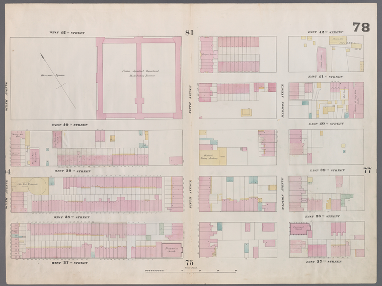
I am at the corner of 42nd Street and Fifth Avenue. According to plate 78 of my map atlas—Williams Perris’s 1857 “Maps of the City of New York”—the massive (2) block long stone structure at the southwest corner of this Manhattan intersection is not the 

Mapping the World: A Review

One of the books recently received at the Map Division is Mapping the world: Stories of Geography by Caroline & Martine Laffon. Even in a pile of other impressive acquisitions, the book is hard to miss. A perfect example of “judging a book by its cover,” the entire work is aesthetically pleasing, with stunning images of maps created in places and cultures around the world.

Mapping the world is a history of cartography with a 

Travel in Andalusia, Spain

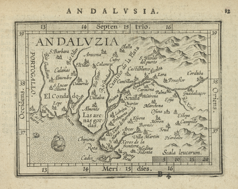
The secret to a successful trip abroad may simply be to know yourself, what you are looking for, and where to find it. For the traveler looking for art and history, untouched mountain trails and sandy beaches, along with distinctive culinary and musical traditions, Andalusia in Spain may be the ideal choice.

Located at the southernmost part of the Iberian Peninsula, Andalusia’s major cities include Cordoba, Granada, Malaga, Ronda, and its capital, Seville. These urban