Spotlight on the Public Domain
The Bronx in the Public Domain
This is one of a series of blog posts related to the NYPL Public Domain Release: discover the collections and find inspiration for using them in your own research, teaching, and creative practice.
You've probably seen, read or heard a few of the numerous news reports on the recent release of over 180,000 digitized images by the New York Public Library into the public domain. Incredible, right? Well, what is even more incredible is that over 2,000 of these images are from the Bronx. You might be able to see what your neighborhood looked like 100 years ago! This post will highlight some the treasures from the Bronx which are part of this incredible gold mine of historic images now freely available for all to peruse and use at their leisure.
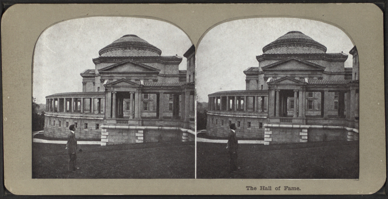
Stereoscopic views (3D images) of the Bronx
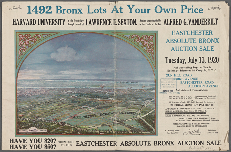
Real Estate Advertisement and Notices
Don't you wish you could buy a lot for $50 or $20 now? More on these land auctions in Kate's post.
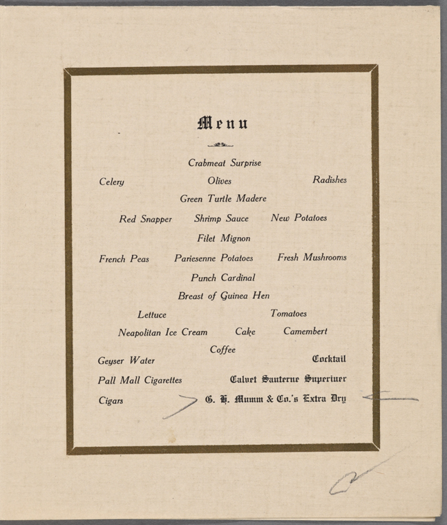
Menus
A small selection of programs including menus and after dinner talks at various auspicious events held in the Bronx. I'll take a pass on the Green Turtle Madere and the Pall Mall Cigarettes below.
Maps - Bronx Road Atlas
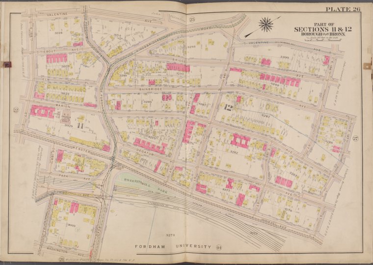
The Atlas of the City of New York: Borough of the Bronx ... from the actual surveys and official plans [1911 -1913]. Published by G.W. Bromley. This entire atlas has been digitized page by page. I decided to look up Kingsbridge Road and Fordham Road where the Bronx Library Center is currently located. First, I checked the Street Index arranged alphabetically to find Fordham Road. This led me to Plate 26 - the image below. The first thing I noticed was that the short walkway directly in front of the Bronx Library Center leading to Bainbridge Avenue—Briggs Avenue—is actually called "Coles Lane" in the 1911 map. Needless to say, I referred to it as "the little alley way." Now I can refer to it by its proper name.
You've probably heard that the current location of Poe's Cottage is not the original location—it was obliquely across from its current location. This map would confirm that.
Look up your neighborhood and try to see what has changed since 1911. Be sure to use the zoom tool to see all the details up close. Feel free to share your findings in the comment section below.
Historic Photographs
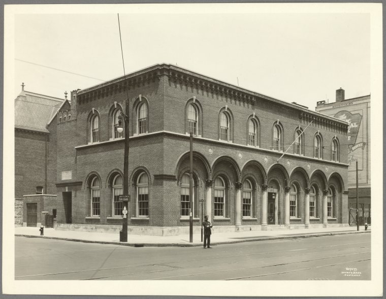
While not part of the public domain release, we have a huge collection of historical Bronx photographs featuring many street views and buildings. See if a street or building you know is featured.
Other highlights you'll definitely want to view:
- A small collection of photographs received at the Bronx Reference Center which includes works by the notable Turkish Photographer J. Pascal Sebah (1823-1886)
- Insurance Maps of the City of New York (Borough of the Bronx). Surveyed and published by Sanborn-Perris Map Co. Ltd. 1898. (Used to assess fire insurance liability)
- Maps from the Department of Public Parks, Bronx
- Maps with the Bronx River
- Topographical Maps from the Bronx
- Maps and photos featuring Woodlawn Cemetery
Read E-Books with SimplyE
 With your library card, it's easier than ever to choose from more than 300,000 e-books on SimplyE, The New York Public Library's free e-reader app. Gain access to digital resources for all ages, including e-books, audiobooks, databases, and more.
If you don’t have an NYPL library card, New York State residents can apply for a digital card online or through SimplyE (available on the App Store or Google Play).
Need more help? Read our guide to using SimplyE.
Comments
Permission of use
Submitted by Julia Rodriguez (not verified) on June 4, 2016 - 9:41pm
Hi Julia, very happy to hear
Submitted by Lauren Lampasone on June 6, 2016 - 10:20am