Citizen Cartography: No April Foolin'
Greetings Citizen Cartographers and April Foolers!
Spring has sprung and new maps have been added to the NYPL Map Warper. No joke!
The Map Warper is a free online tool (available at maps.nypl.org) that enables you to align digital images of historical maps with today’s map, which we like to call “warping.”
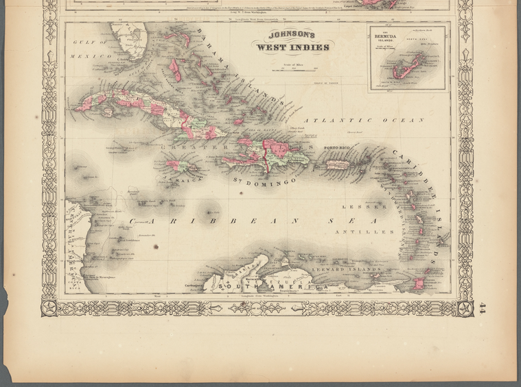
This newly added map from Alvin Jewett Johnson’s 1864 New Illustrated Family Atlas beautifully depicts Florida and the Caribbean during the American Civil War. I was able to spot Trinidad and Tobago (where my mother’s family is from) off the coast of Venezuela. At this time, these two islands were still colonies of Great Britain, indicated on the map by “(Br.)” next to each island’s name.

Warp this map, or any of the other 20,000+ maps from all over the world available on the Map Warper, and help the Library build tools for historical research. Get started by watching the tutorial at maps.nypl.org, attending a Citizen Cartography workshop, or sending an email for more information.
Happy Warping!
Read E-Books with SimplyE
 With your library card, it's easier than ever to choose from more than 300,000 e-books on SimplyE, The New York Public Library's free e-reader app. Gain access to digital resources for all ages, including e-books, audiobooks, databases, and more.
If you don’t have an NYPL library card, New York State residents can apply for a digital card online or through SimplyE (available on the App Store or Google Play).
Need more help? Read our guide to using SimplyE.