Research at NYPL, Doc Chat
Doc Chat Episode Twenty: Aerial Photography in Focus
On March 18, 2021, Doc Chatters peered into the fascinating history—and many uses and meanings—of aerial photographs.
A weekly series from NYPL's Center for Research in the Humanities, Doc Chat pairs a NYPL curator or specialist and a scholar to discuss evocative digitized items from the Library's collections and brainstorm innovative ways of teaching with them. In Episode Twenty, NYPL’s Ian Fowler and Elizabeth Cronin revealed the cultural and technological origins of aerial photography, analyzed several examples, and provided historical context for its use in exploration, the military, mapmaking, and more.
Doc Chat Episode 20: Aerial Photography in Focus from The New York Public Library on Vimeo.
A transcript of this event is available here.
Below are some handy links to materials and sources suggested in the episode.
Episode Twenty: Primary Sources
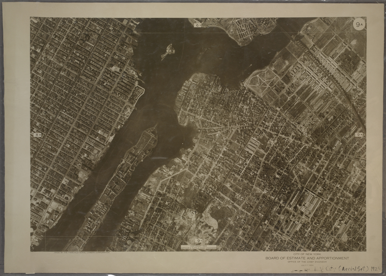
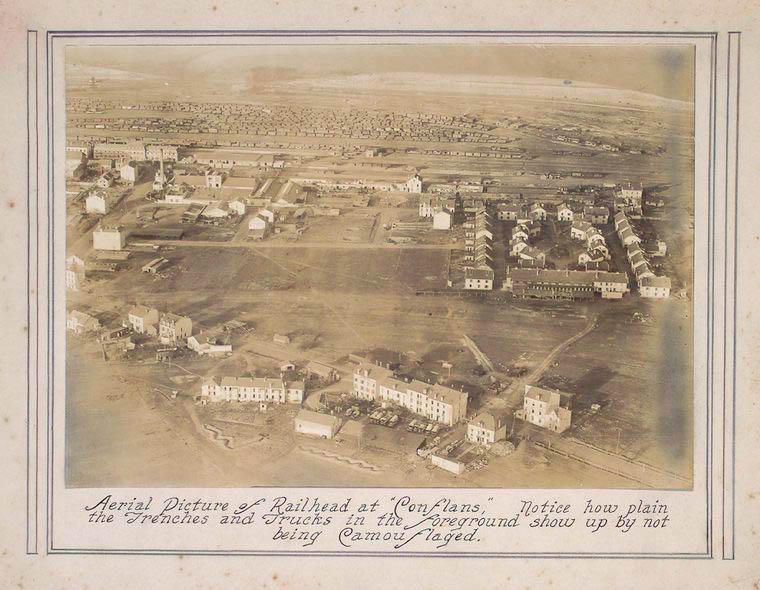
Elizabeth and Ian examined the following collection items:
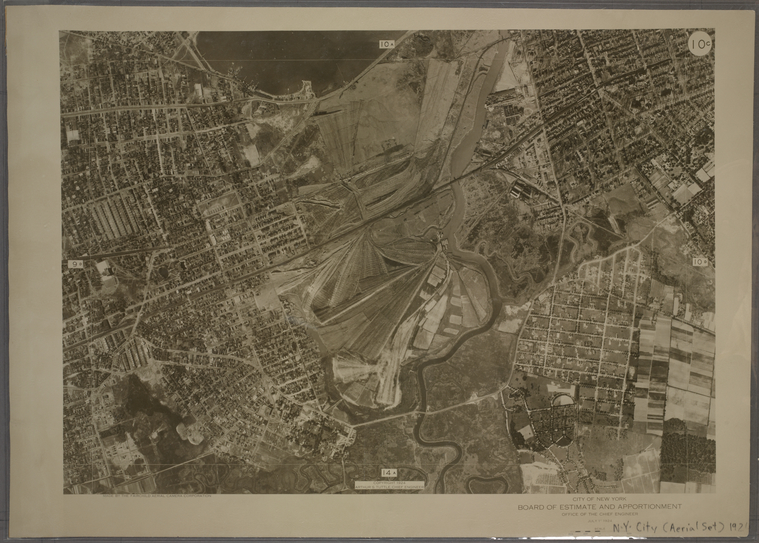
Aerial maps of New York City geo-located over a digital map, from NYPL Map Warper.
Episode Twenty: Readings and Resources
Burnside, Mapping from aerial photographs (Wiley, 1985).
Fleming, Basic guide to small-format hand-held oblique aerial photography (Canda Center for Remote Sensing, 1981).
Hardesty, Camera Aloft: Edward Steichen in the Great War (Cambridge University Press, 2015).
Mattison, “Aerial Photography” in Encyclopedia of Nineteenth-Century Photography, ed. John Hannavy (New York: Routledge, 2008), 12-15.
McCabe, From above: the story of aerial photography (Laurence King Publishing, 2019)
Newhall, Airborne Camera: the world from the air and outer space (Hastings House, 1969).
New York State Map Information Unit, Inventory of aerial photography and other remotely sensed images of New York State (MIU, NY State Dept. Transportation, 1979).
Read E-Books with SimplyE
 With your library card, it's easier than ever to choose from more than 300,000 e-books on SimplyE, The New York Public Library's free e-reader app. Gain access to digital resources for all ages, including e-books, audiobooks, databases, and more.
If you don’t have an NYPL library card, New York State residents can apply for a digital card online or through SimplyE (available on the App Store or Google Play).
Need more help? Read our guide to using SimplyE.