Spotlight on the Public Domain
Ride the Staten Island Railway Through the Public Domain
This is one of a series of blog posts related to the NYPL Public Domain Release: discover the collections and find inspiration for using them in your own research, teaching, and creative practice.
Earlier this month the New York Public Library announced that over 180,000 items from the NYPL Digital Collection would be made available free for public use without restrictions. The public domain items, which range from maps and photos to postcards and sheet music, are available immediately as high-resolution downloads. In addition, many of the images can be ordered as art prints for display, a feature that I will no doubt be taking advantage of very soon.
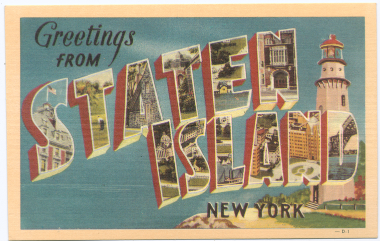
As I explore the public domain materials in the collection I am most drawn to the historical images and maps. These images offer a look back into our history, a history before the crowds, the construction, and the traffic forever changed the landscape. This is especially true of Staten Island, much of which remained farmland or summer estates until the mid-20th century. The public domain collection contains a plethora of Staten Island-related materials, which are of course now freely available for use, no questions asked. What better way to discover these Staten Island materials then by taking a historic trip down the Staten Island Railroad, starting at St. George and traveling all the way down to Tottenville. All aboard!
St. George
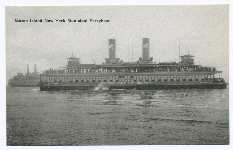
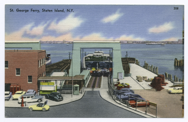
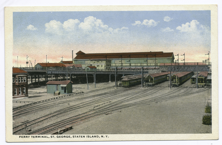
We’ll begin our journey on the Staten Island Ferry, where until 1964 when the Verrazano-Narrows Bridge opened, was one of the only means of travel to and from the island (There were a number of smaller ferry services that provided service to Brooklyn and New Jersey, but these services were eventually suspended). The ferry, which has been operated by the City of New York since 1905, has become an icon in its own right as well as a major attraction for tourists looking to take advantage of the free ride and beautiful views. The NYPL public domain release contains many wonderful photos and postcards of the ferry terminal as well as the ferries themselves.
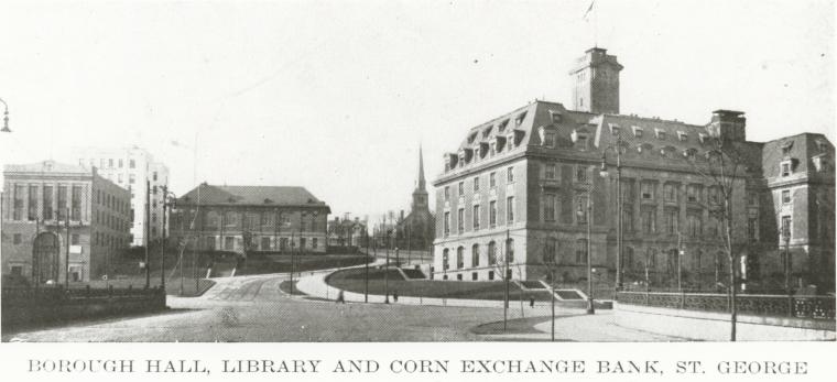
As we leave the ferry terminal we are presented with a view of Staten Island Borough Hall, built in 1906 soon after the island’s political center was moved to St. George. It was by far the largest building on Staten Island when construction was completed and remains an impressive structure today. Walk up the hill past Borough Hall and we will soon come to Curtis High School, the first high school to open on the island in 1904.
The St. George area has seen quite a bit of change in the 110 years since construction of Borough Hall. However, we can stand at the entrance to the ferry terminal today looking out towards St, George and still get a feel for what it was like at the turn of the 20th century. The photo below shows Borough Hall, the St. George Library, a bank, apartment building, and the Brighton Reform Church, all of which are still there today. Now, thanks to availability of the items from the NYPL Digital Collection, we can see for ourselves the transition of our neighborhoods. Not only can we view the items, but we can freely use them as we see fit.
Tompkinsville
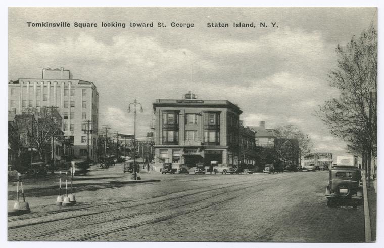
Our next stop is Tompkinsville Station, so close to St. George that you could walk from one station to the other in less than 15 minutes. Much like St. George, Tompkinsville has seen much change in the last 100 years, though many of the original buildings and roads still exist today. The image below shows Tompkinsville Square looking north towards St. George. Tompkinsville Park is to the left. A person standing in thatlocation today would see much the same, minus the trolley tracks, which sadly no longer exist.
Stapleton
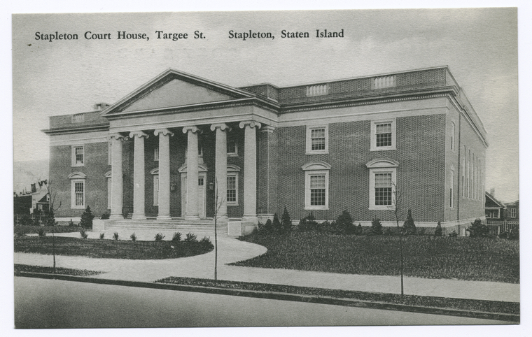
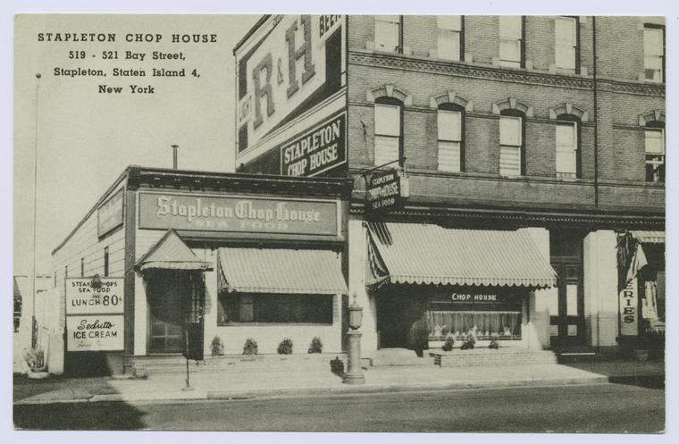
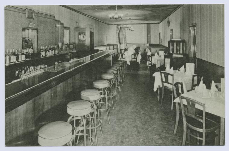
Stapleton was founded in 1833 on land that had belonged to the Vanderbilt family. It is a community with a rich history, including beautiful turn of the century Victorian homes that once served as retreats for the wealthy. The town was also home to a number of German-American breweries in the mid to late 18th century. Let’s take a walk through the Stapleton of old, using the some of the images contained in the public release.
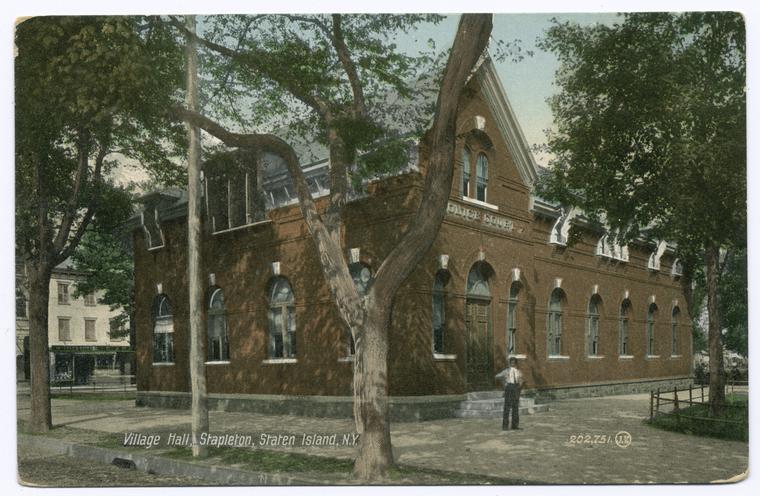
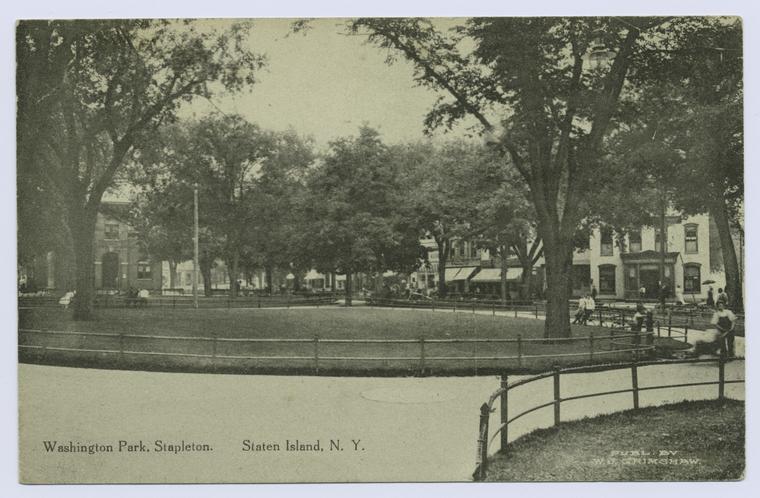
The Edgewater Village Hall, located in what is now known as Tappen Park, once served as the municipal offices for the small village of Edgewater (later changed to Stapleton). Tappen Park, where the Village Hall is located, was originally named Washington Park. Both the Village Hall and park exist today, and are surrounded by a number of businesses and community centers, including the New York Public Library’s Stapleton branch. A visitor can easily explore the neighborhood as Stapleton’s Staten Island Railway station is conveniently located within walking distance of all there is to see.
Clifton
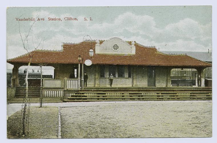
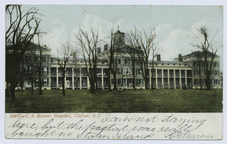
Our next stop is the neighborhood of Clifton, which like its northern neighbor Stapleton, was founded on land that had once belonged to the Vanderbilt family. In the 19th century, Clifton was the site of a ferry terminal that would become known as Vanderbilt’s Landing. The Staten Island Railroad station that served Vanderbilt’s Landing was aptly named the Vanderbilt Avenue Station. Clifton is also home to Bayley Seton Hospital, which houses the original Old Seaman’s Retreat (Marine Hospital). The original building, as seen in the postcard below, still stands today as a designated New York City landmark.
Grasmere
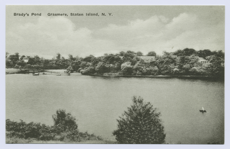
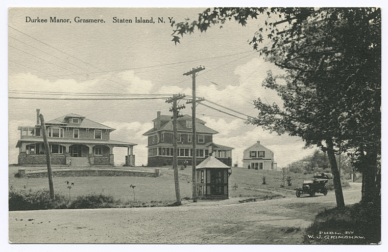
Let's continue our journey down the line and on to the next stop, Grasmere. The town acquired its name from Sir Roderick Cameron. Grasmere is best known for Brady’s Pond, which has changed hands many times throughout its history, though is now surrounded by private houses. Prior to the building of private houses, the pond was part of the estate of Charles Durkee, who built a mansion on the grounds.
Old Town
Old Town, or “Oude Dorp” in the original Dutch, was the first permanent European settlement on the island, established in 1661 by Peter Stuyvesant. Though often referred to as Grasmere, Dongan Hills, or South Beach by outsiders, town residents continue to refer to the area as Old Town.
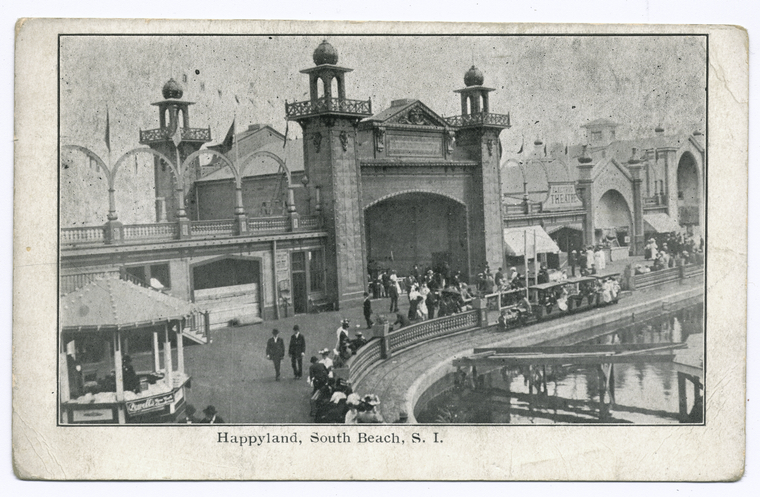
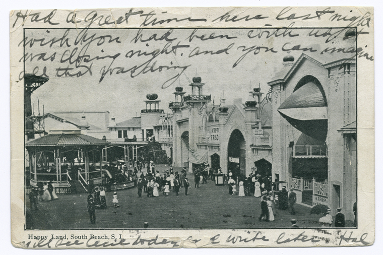
At this point in our trip we’re going to make a bit of a detour and head on down to South Beach for some rest and relaxation. Sure, it’s a little off the modern rail line, but since we’re taking a trip through time we might as well take a trip on the now-defunct South Beach branch of the Staten Island Railroad, which ended service in 1953. Believe me; it will be worth the trip. South Beach was once a summer retreat filled with beach bungalows. Eventually the area would add resorts, hotels, and bathing pavilions. The crown jewel was the Happyland Amusement Park, which opened in 1906 to large crowds looking to escape the summer heat. Despite the fact the amusement park, along with most of the other attractions, are now gone, South Beach has maintained its excellent beaches and recently reconstructed boardwalk.
Dongan Hills
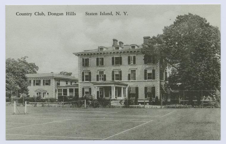
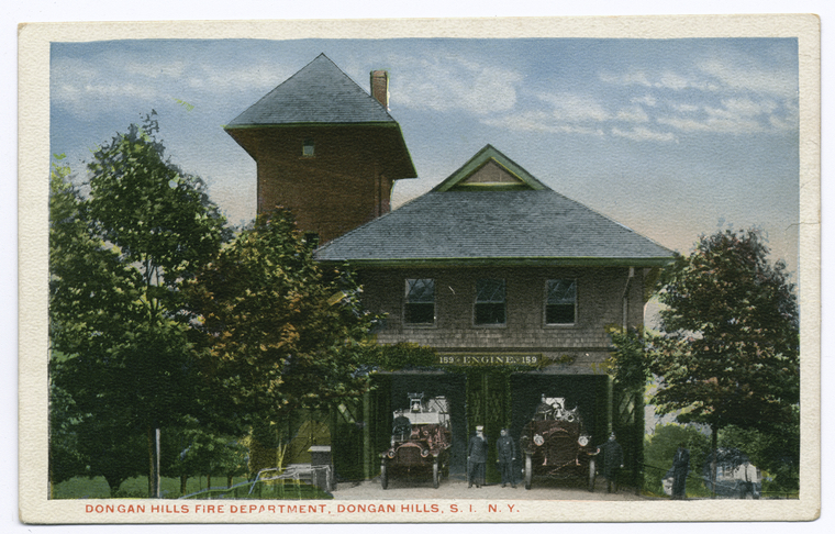
The next stop on our journey is Dongan Hills, which derived its name from Thomas Dongan, who was governor of the colony of New York from 1682 until 1688. The public domain images contained in the NYPL digital collection related to Dongan Hills include postcards, photos and maps. Take a look at some examples below.
Jefferson Avenue (Midland Beach)
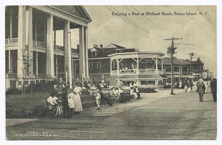
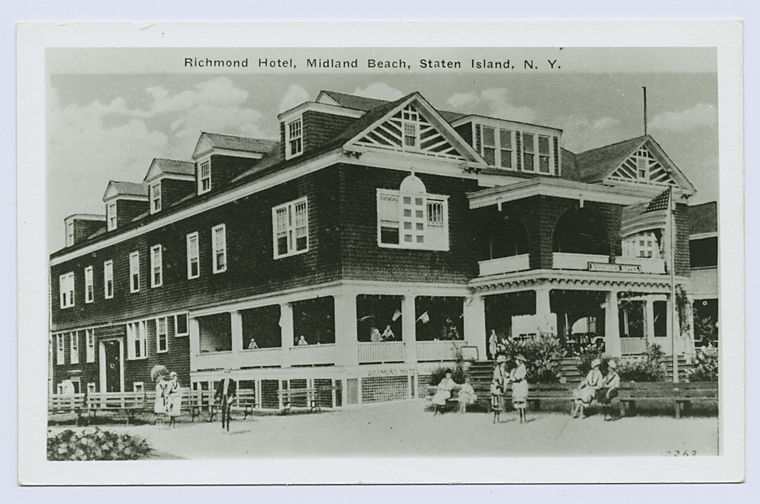
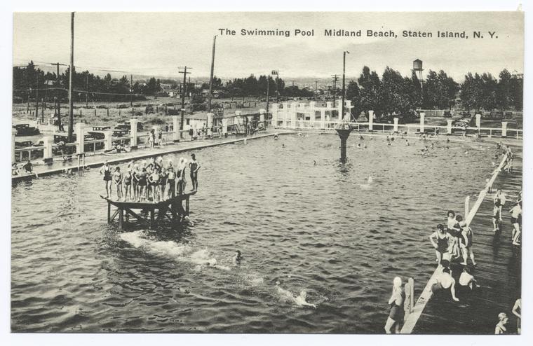
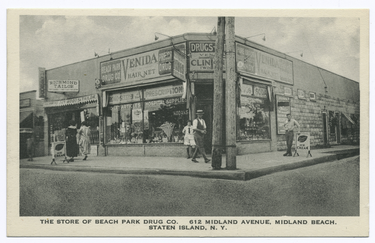
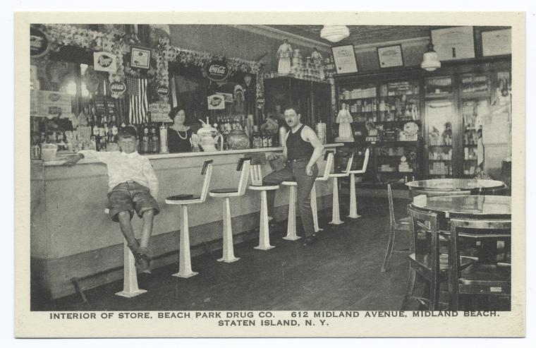
The Jefferson Avenue stop of the Staten Island Rail is located in the town of Midland Beach. The town was once a premier seaside resort, boasting restaurants, hotels, concerts and a boardwalk.
Grant City
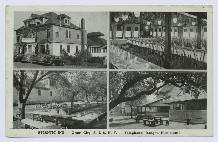
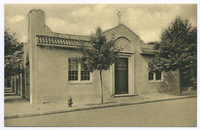
On to Grant City we go, named in honor of President Ulysses S. Grant. Originally name Frenchtown, it would eventually be renamed. Grant City itself was home to St. Christopher’s Roman Catholic Church and School as well the Atlantic Inn.
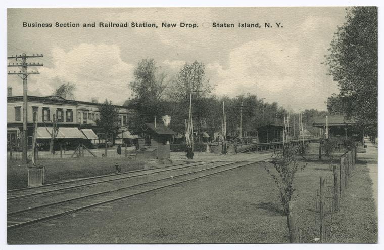
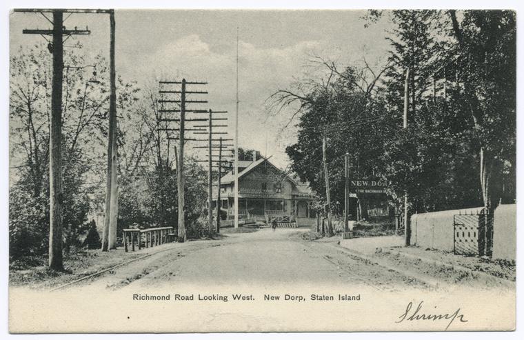
New Dorp
Our train's next stop is New Dorp. As one of the older communities on Staten Island, it can trace its founding back to the mid to late 17th century when Dutch colonists began to settle in the area, naming it “Nieuwe Dorp”. During the elimination of the grade crossing, the New Dorp Staten Island Rail station was moved to Historic Richmond Town to be put on exhibition to the public.
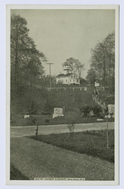
New Dorp is home to the New Dorp Lighthouse, a lighthouse built in 1856. Decommissioned in 1964, the lighthouse building remains and is now a private residence closed to the public.
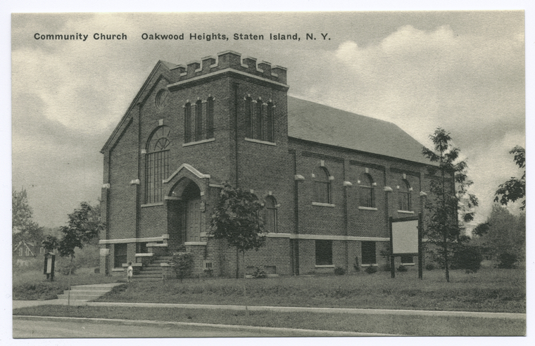
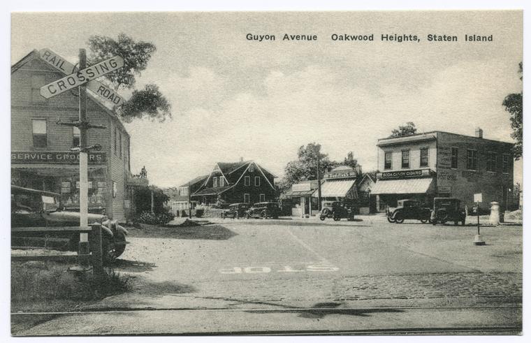
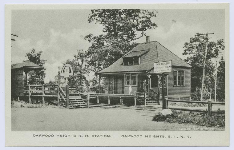
Oakwood Heights (Oakwood)
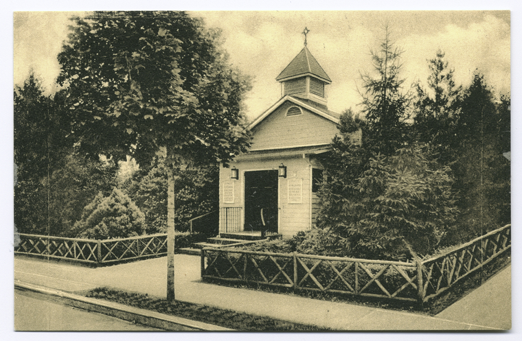
Our next stop is the Oakwoods Heights station, in Oakwood. Once dominated by farmland and an ocean resort, the town went through a transformation after the opening of the Verrazano-Narrows Bridge. The Oakwood Heights Community Church, pictued below, was established in 1928 and still stands on Guyon Avenue today.
Bay Terrace
Our train is going to run express to Great Kills on this trip, as Bay Terrace is a neighborhood within Oakwood.
Great Kills
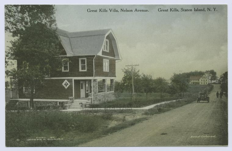
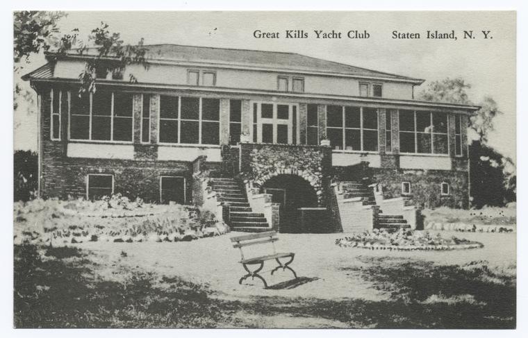
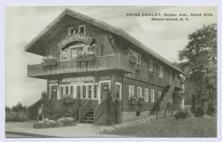
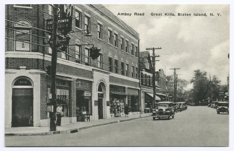
Great Kills was, and still is in some cases, home to a number of notable homes, resorts and restaurants, some of which still exist today. The Great Kills Yacht Club, pictured below, remains an an active club today. Also pictured below are photos of the Swiss Chalet on Nelson Avenue and a street scene on Amboy Road.
Eltingville
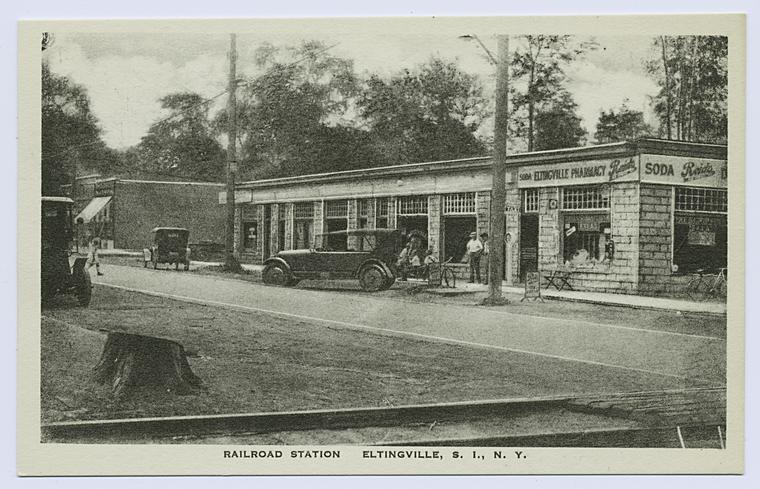
Our next stop is Eltingville, which until 1860, had been the final stop on the line. As with many towns on the south shore of Staten Island, Eltingville was primarily farmland until the middle of the 20th century. Most of the commerical buildings were constructed near the train station. P.S. 42, pictured below, remains the local public school today.
Annadale
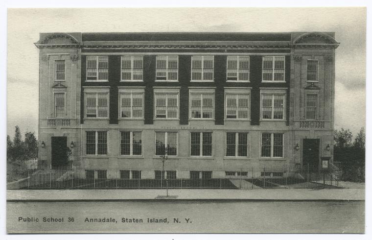
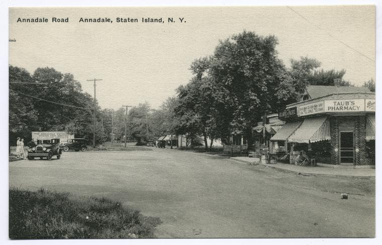
Annadale, on Staten Island's south shore, was named for Anna Sequine in 1886. The area was largely wooded, the remnants of which remain as Blue Heron Park Preserve.
Huguenot
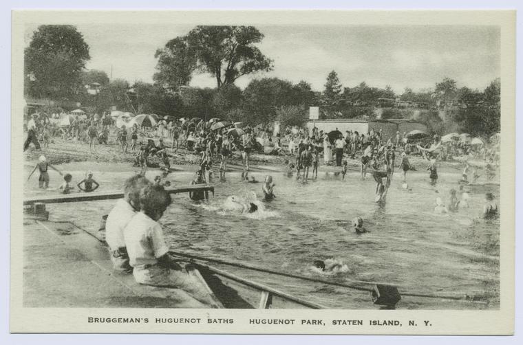
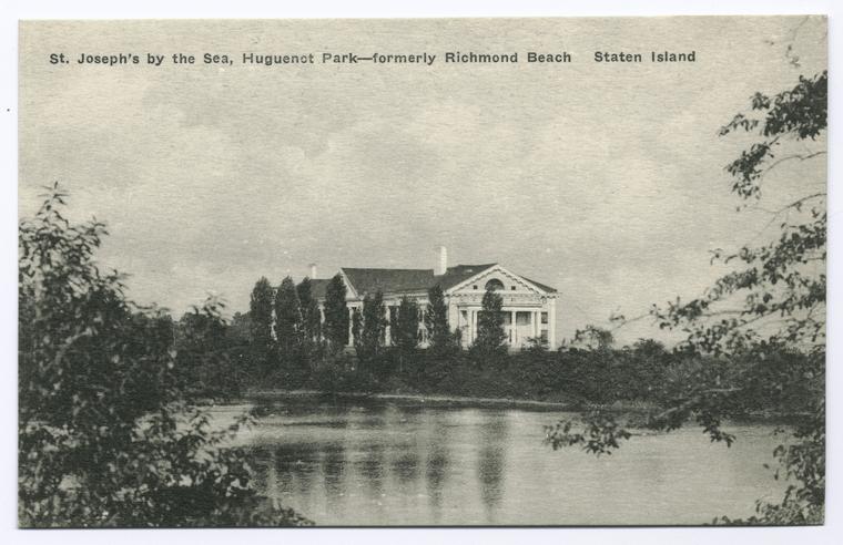
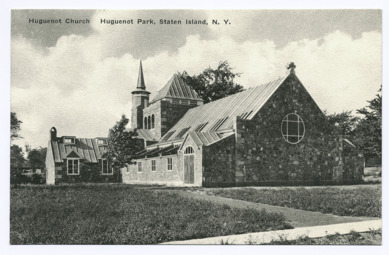
Huguenot is the next stop on our trip down the Staten Island Railroad. The town gets its name from the first Europeans that settled the area in the 17th century, French Huguenots. The neighborhood maintains a connection to its Huguenot past through the Reformed Church of Huguenot Park on Amboy Road, pictured below. Also pictured below is St. Joseph by the Sea Catholic High School and Bruggeman's Huguenot Baths.
Prince's Bay
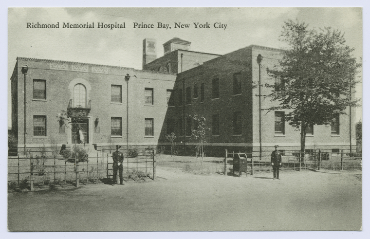
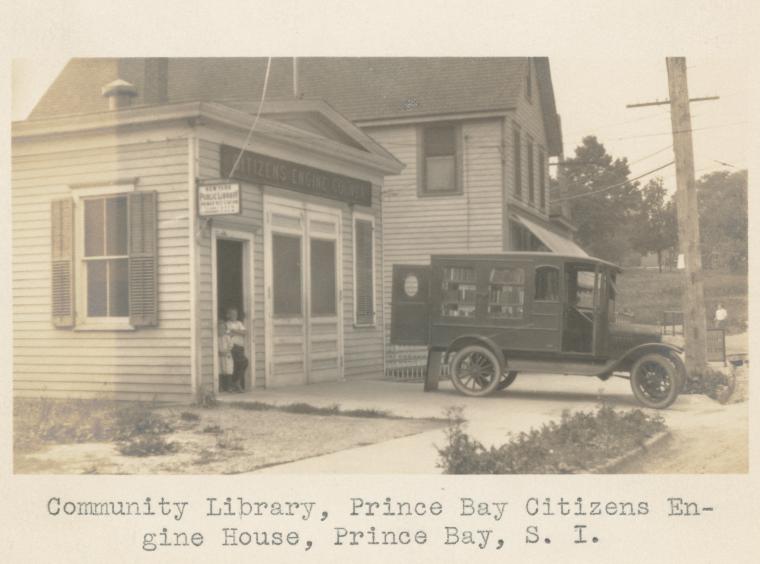
Prince's Bay, along the Raritan Bay, was once known for its abundant oysters. Visitors, like ourselves, can enjoy Wolfe's Pond Park and Lemon Creek park. Once a popular location for summer retreats, suburbanization brought much change to the neighborhood. Pictured below is the Richmond Memorial Hospital (now Staten Island University Hospital - South Campus) as well as the community library and firehouse.
Pleasant Plains
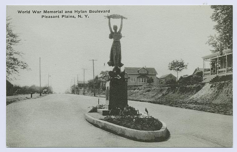
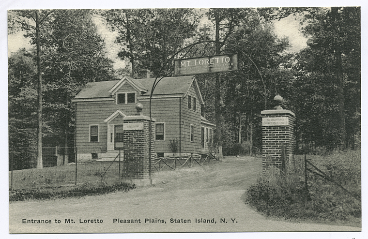
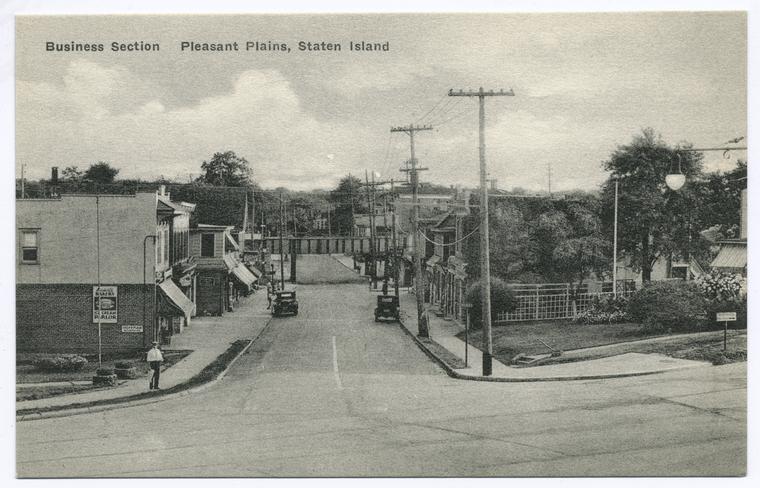
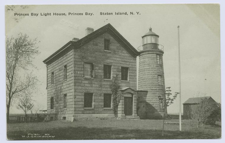
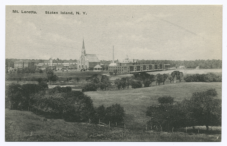
On to Pleasant Plains, which got its name in 1860, when the the Staten Island Railroad was extended down to Tottenville. Whoever gave the town its name certainly got it right, as a visitor will be afforded beautiful views, especially from the Mount Loretto Unique Area. The Mt. Loretto area was the former site of the Mission of the Immaculate Virgin Orphanage, and now visitors can stroll the grounds at their leisure. Visitors can also see the World War I Memorial on Hylan Boulevard (pictured below) and the Prince's Bay Lighthouse (now known as the John Cardinal O'Connor Lighthouse).
Richmond Valley
Richmond Valley was the name given to the area by the Staten Island Railroad when they extended the tracks to Tottenville in the 1860s. Pictured below is an expansive view of Mt. Loretto, as it extends through a number of different south shore Staten Island communities.
Atlantic and Nassau Stations
A note about the Atlantic and Nassau Stations. Sadly, these two stations are set to be closed down and replaced by a larger station called Arthur Kill. So, our train will be continuing on to Tottenville.
Tottenville
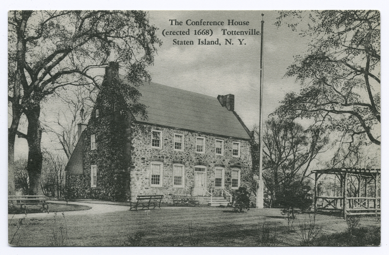
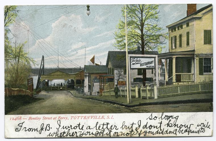
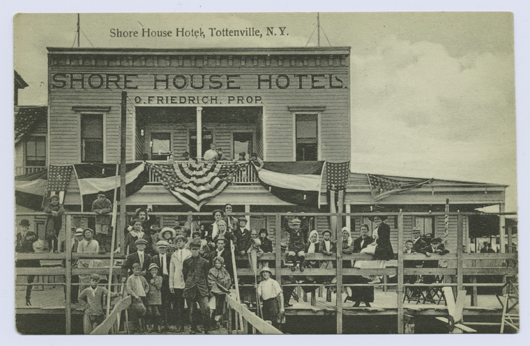
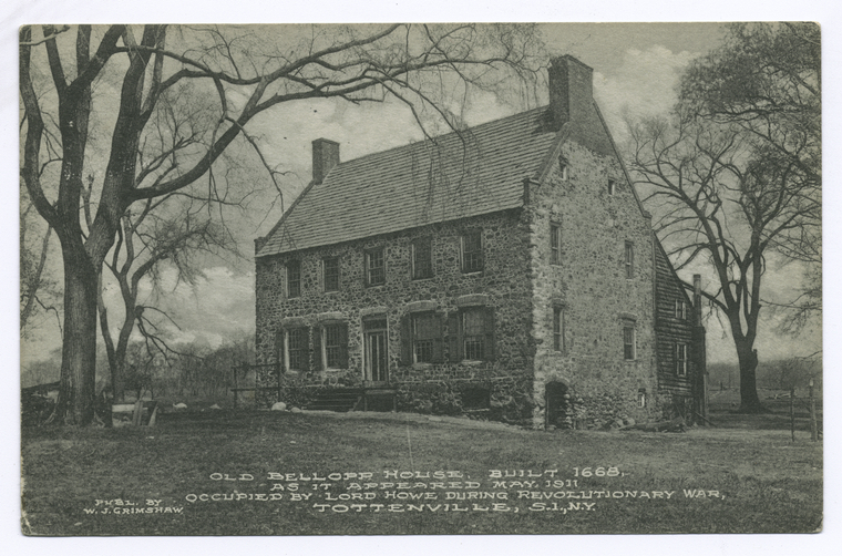
We now reach the end of our journey as we come to Tottenville, a town that has the honor of being the southern-most point in New York City and New York State. The town gets its name from the Totten family, who once owned most of the land in the area. It is perhaps best known for the Billop or Conference House (Also known as the Bentley House), where an unsuccessful peace conference took place in 1776, in an attempt to end the American Revolution. The Conference House, which still stands today, is an historical landmark and open to the public. A ferry ran from Tottenville to Perth Amboy, New Jersey regularly until 1927, when the Outerbridge Crossing was opened.
Well, we've reached the end of our journey. I hope you've enjoyed the ride through Staten Island history using the public domain images of the NYPL Digital Collection. Why not take a ride through the collection yourself? You'll be amazed at the items you'll find, all free to use as you see fit. If you'd like to learn more about Staten Island history, check out the Staten Island History Collection at the St. George Library Center.
Author's Note: Data was gathered using The Encyclopedia of New York City, 2nd edition. All images were obtained from the public domain release of the NYPL Digitial Collection.
Read E-Books with SimplyE
 With your library card, it's easier than ever to choose from more than 300,000 e-books on SimplyE, The New York Public Library's free e-reader app. Gain access to digital resources for all ages, including e-books, audiobooks, databases, and more.
If you don’t have an NYPL library card, New York State residents can apply for a digital card online or through SimplyE (available on the App Store or Google Play).
Need more help? Read our guide to using SimplyE.


Comments
SI Railay
Submitted by Mary L Bullock (not verified) on February 29, 2016 - 12:48am